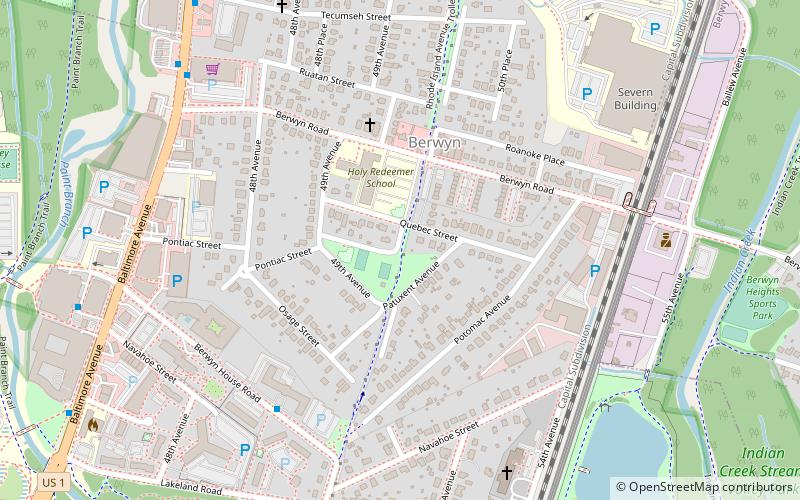
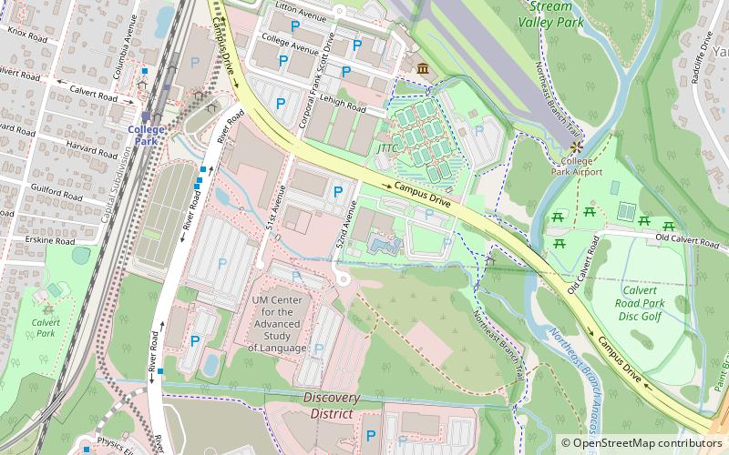
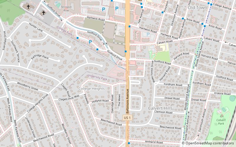
Rhode Island Avenue Trolley Trail, College Park
Map
Facts and practical information
The Rhode Island Avenue Trolley Trail is a 3.8-mile long rail trail within the Cities of College Park Maryland, Riverdale Park Maryland and Hyattsville Maryland. ()
Coordinates: 38°59'36"N, 76°55'38"W
Getting there by public transportation
Public transportation stops near this location
- Metro
- Bus
- Train
 Metro
Metro
- Calculate routeUniversity Club Apartments 6 min walk
- Calculate routeUniversity View 10 min walk
- Calculate routeBaltimore Avenue at The Varsity 11 min walk
- Calculate routePaint Branch Drive & Technology Drive 14 min walk
- Calculate routeCollege Park–University of Maryland 27 min walk
- Calculate routeCollege Park 28 min walk
- Calculate routeGreenbelt 36 min walk
Day trips


Frequently Asked Questions (FAQ)
Which popular attractions are close to Rhode Island Avenue Trolley Trail?
Nearby attractions include A. James Clark School of Engineering, College Park (16 min walk), Lake Artemesia, College Park (17 min walk), University of Maryland Arboretum & Botanical Garden, College Park (17 min walk), Xfinity Center, College Park (19 min walk).
How to get to Rhode Island Avenue Trolley Trail by public transport?
The nearest stations to Rhode Island Avenue Trolley Trail:
Bus
Metro
Train
Bus
- University Club Apartments • Lines: 117, 125, 132 (6 min walk)
- University View • Lines: 114, 117, 125 (10 min walk)
Metro
- College Park–University of Maryland • Lines: Gr, Yl (27 min walk)
Train
- College Park (28 min walk)
- Greenbelt (36 min walk)