Bonneville Shoreline Trail, Wasatch–Cache National Forest
Map

Gallery

Facts and practical information
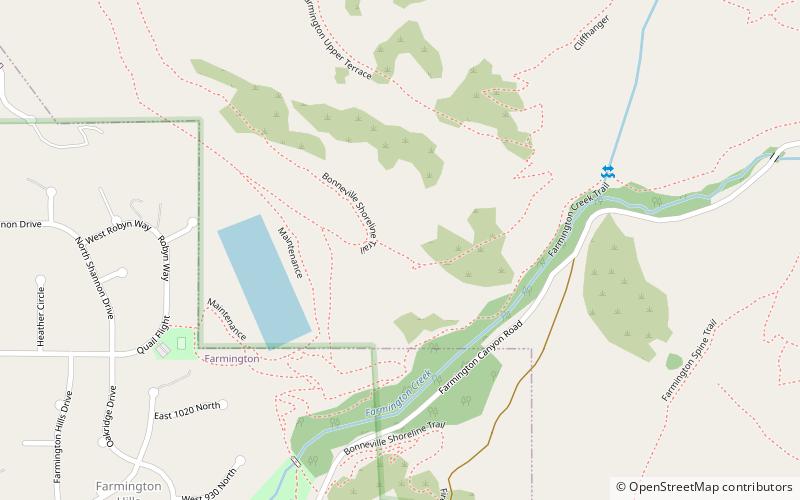
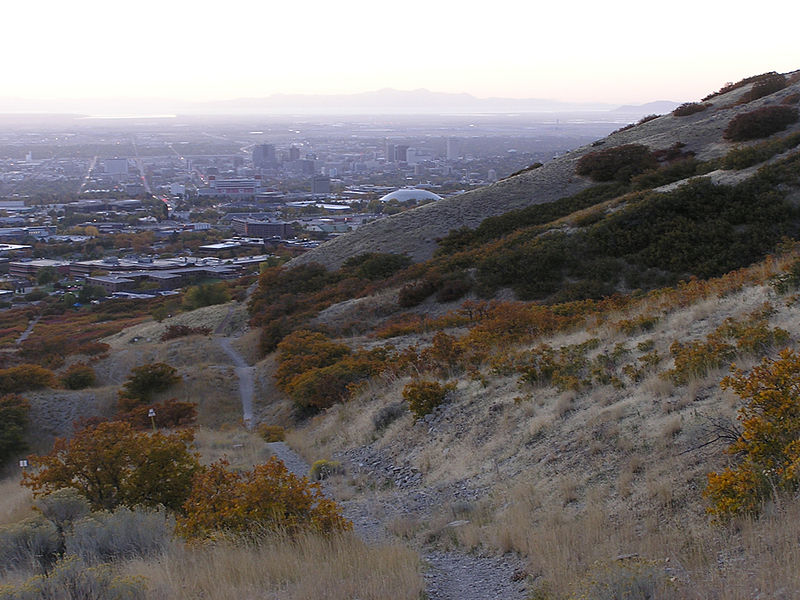
The Bonneville Shoreline Trail is a mixed use recreation trail in Utah that roughly follows the shoreline of the ancient Lake Bonneville, a prehistoric pluvial lake which existed in northern Utah before naturally draining about 14,000 years ago. Some sections of the trail are complete while other parts are still being developed. The Bonneville Shoreline Trail hopes to one day stretch from the Idaho border and run southward all the way to Nephi, Utah. ()
Coordinates: 41°0'0"N, 111°52'59"W
Address
Wasatch–Cache National Forest
ContactAdd
Social media
Add
Day trips
Bonneville Shoreline Trail – popular in the area (distance from the attraction)
Nearby attractions include: Lagoon, Wicked, Colossus the Fire Dragon, Wild Mouse.
Frequently Asked Questions (FAQ)
How to get to Bonneville Shoreline Trail by public transport?
The nearest stations to Bonneville Shoreline Trail:
Train
Bus
Train
- Farmington (36 min walk)
Bus
- Farmington Station (37 min walk)


