McGowan Peak, Sawtooth Wilderness

Gallery (1)
Map
Map
Facts and practical information
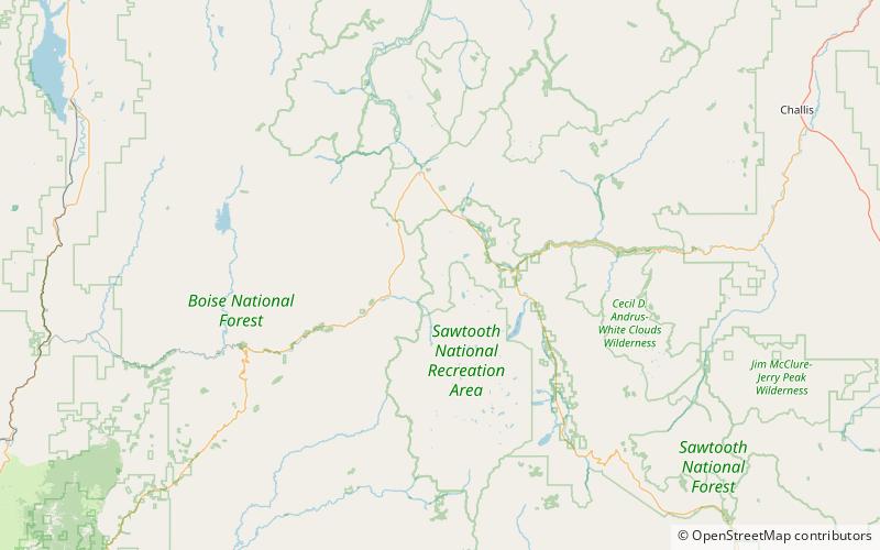
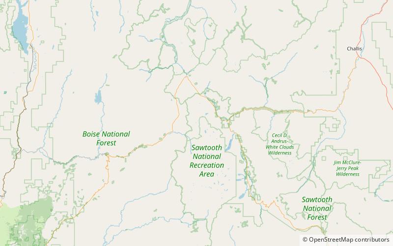
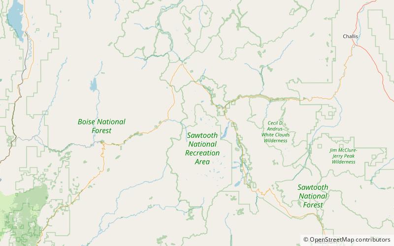
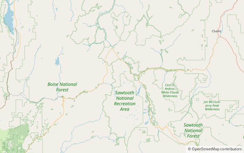
McGowan Peak, at 9,860 feet above sea level is a peak in the Sawtooth Range of Idaho. The peak is located in the Sawtooth Wilderness of Sawtooth National Recreation Area in Custer County. The peak is located 3.25 mi north-northwest of Alpine Peak, its line parent. McGowan Peak rises above the southwest end of Stanley Lake. ()
Elevation: 9860 ftProminence: 1100 ftCoordinates: 44°12'48"N, 115°4'52"W
Address
Sawtooth Wilderness
ContactAdd
Social media
Add
Day trips