Albemarle and Chesapeake Canal, Chesapeake
Map
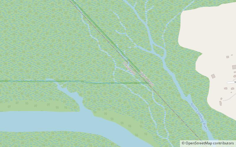
Map

Facts and practical information
The Albemarle and Chesapeake Canal was built by a corporation in 1856-1860 to afford inland navigation between the Chesapeake Bay and the Albemarle Sound. It is really two canals, thirty miles apart, one eight and one-half miles long, connecting the Elizabeth River with the North Landing River in Virginia, and the other five and one-half miles long, connecting the Currituck Sound with the North River in North Carolina. ()
Built: 1775 (251 years ago)Coordinates: 36°43'34"N, 76°6'33"W
Address
WashingtonChesapeake
ContactAdd
Social media
Add
Day trips
Albemarle and Chesapeake Canal – popular in the area (distance from the attraction)
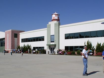
Nearby attractions include: Military Aviation Museum, Red Mill Commons, Reaver Beach Brewing Co., Veterans United Home Loans Amphitheater.

