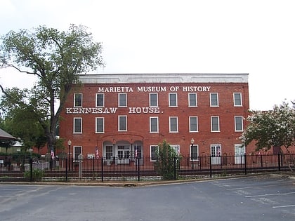
Marietta National Cemetery, Marietta
Map
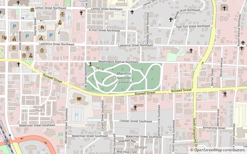
Map

Facts and practical information
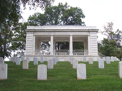
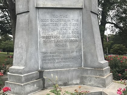
Marietta National Cemetery is a United States National Cemetery located in the city of Marietta in Cobb County, Georgia. It encompasses 23.3 acres, and as of the end of 2006, had 18,742 interments. It is closed to new interments, and is now maintained by the new Georgia National Cemetery. ()
Established: 1866 (160 years ago)Graves: 18.7 thous.Coordinates: 33°57'5"N, 84°32'27"W
Address
500 Washington Ave NEFort Hill - RooseveltMarietta 30060-2102
Contact
+1 866-236-8159
Social media
Add
Day trips
Marietta National Cemetery – popular in the area (distance from the attraction)
Nearby attractions include: Six Flags White Water, Marietta Square, Marietta/Cobb Museum of Art, Marietta Confederate Cemetery.
Frequently Asked Questions (FAQ)
Which popular attractions are close to Marietta National Cemetery?
Nearby attractions include Cobb County Public Library System, Marietta (5 min walk), Marietta City Hall, Marietta (9 min walk), Marietta/Cobb Museum of Art, Marietta (13 min walk), Strand Theatre, Marietta (13 min walk).
