Riverside Park, Jacksonville
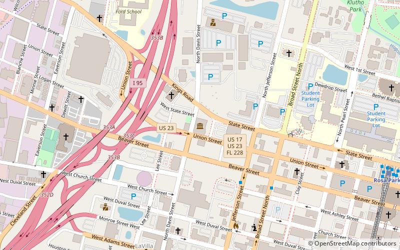
Map
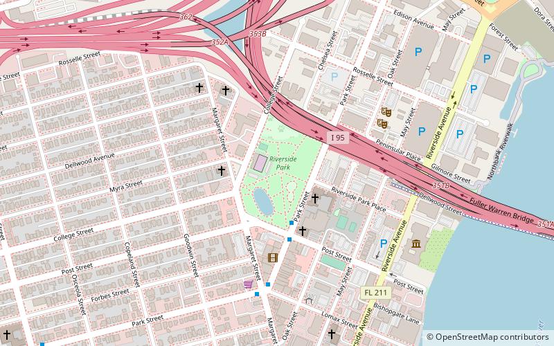
Map

Facts and practical information
Riverside Park is an 11.4-acre public park, located in the heart of Riverside, one of the most historic neighborhoods near downtown Jacksonville, Florida. It is the second oldest park in the city. ()
Created: 1890Elevation: 13 ft a.s.l.Coordinates: 30°19'1"N, 81°40'51"W
Address
753 Park StNorthwest Jacksonville (Riverside)Jacksonville 32204-3318
Contact
Social media
Add
Day trips
Riverside Park – popular in the area (distance from the attraction)
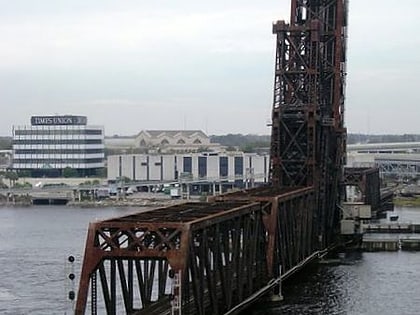
Nearby attractions include: Cummer Museum of Art and Gardens, Fuller Warren Bridge, Acosta Bridge, Times-Union Center for the Performing Arts.
Frequently Asked Questions (FAQ)
Which popular attractions are close to Riverside Park?
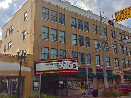
Nearby attractions include Sun-Ray Cinema, Jacksonville (5 min walk), Friday Musicale of Jacksonville, Jacksonville (6 min walk), Cummer Museum of Art and Gardens, Jacksonville (8 min walk), Fuller Warren Bridge, Jacksonville (13 min walk).
How to get to Riverside Park by public transport?
The nearest stations to Riverside Park:
Train
Bus
Train
- Jacksonville Regional Transportation Center (25 min walk)
- Jefferson (28 min walk)
Bus
- Bay M • Lines: Red (26 min walk)
- Greyhound Intercity Bus Terminal (26 min walk)


