David Rumsey Map Center, Palo Alto


Facts and practical information
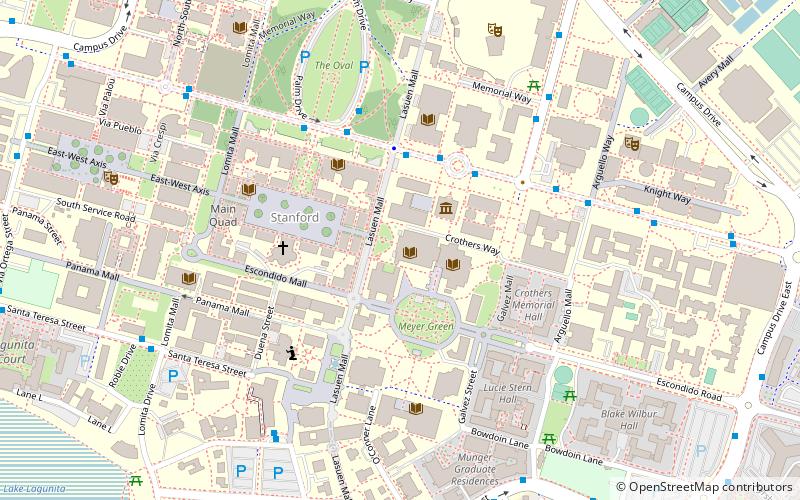
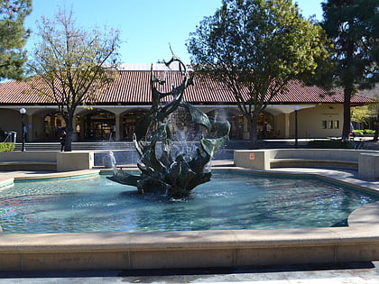
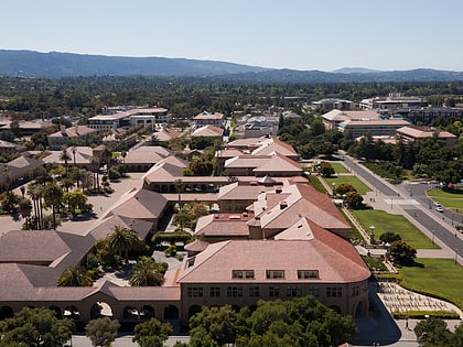
David Rumsey Map Center (address: 557 Escondido Mall) is a place located in Palo Alto (California state) and belongs to the category of library.
It is situated at an altitude of 66 feet, and its geographical coordinates are 37°25'37"N latitude and 122°10'5"W longitude.
Planning a visit to this place, one can easily and conveniently get there by public transportation. David Rumsey Map Center is a short distance from the following public transport stations: Stanford Campus Oval (bus, 5 min walk), Stanford (train, 26 min walk).
Among other places and attractions worth visiting in the area are: Cecil H. Green Library (library, 2 min walk), Hoover Tower (observation decks and towers, 2 min walk), Stanford University Libraries (library, 2 min walk).
David Rumsey Map Center – popular in the area (distance from the attraction)
Nearby attractions include: Stanford Memorial Church, Stanford Shopping Center, White Memorial Fountain, Hoover Tower.
Frequently Asked Questions (FAQ)
Which popular attractions are close to David Rumsey Map Center?
How to get to David Rumsey Map Center by public transport?
Bus
- Stanford Campus Oval • Lines: Ae-F, Db, Eb (5 min walk)
- Burnham Pavilion • Lines: X (6 min walk)
Train
- Stanford (26 min walk)
- Palo Alto (30 min walk)


