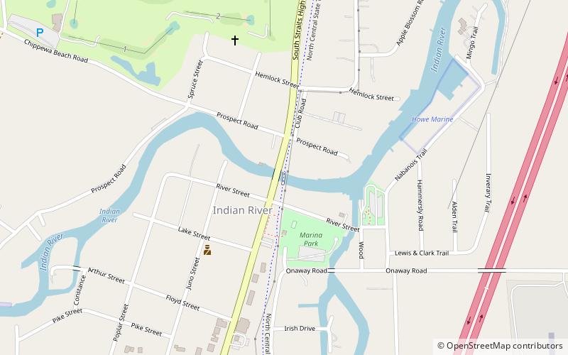
North Central State Trail, Indian River

Map
Facts and practical information
The North Central State Trail is a 62-mile recreational rail trail serving a section of the northern quarter of the Lower Peninsula of the U.S. state of Michigan. Following a route generally parallel to Interstate 75, the trail goes northward from the Michigan town of Gaylord to the top of the Lower Peninsula at Mackinaw City and connects to the North Western State Trail. It serves the towns of Vanderbilt, Indian River, and Cheboygan which connects to the North Eastern State Trail. ()
Coordinates: 45°24'48"N, 84°36'41"W
Day trips
North Central State Trail – popular in the area (distance from the attraction)
Nearby attractions include: BrassWind Gallery, Burt Lake State Park.

