Kelley Park, San Jose
Map

Gallery

Facts and practical information
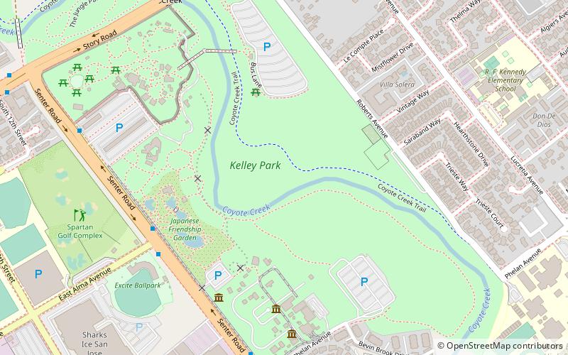
Kelley Park is a 156-acre city park in San Jose, California, United States. ()
Elevation: 108 ft a.s.l.Coordinates: 37°19'24"N, 121°51'29"W
Address
1300 Senter RdSouth San JoseSan Jose 95112-2520
Contact
+1 408-277-2757
Social media
Add
Day trips
Kelley Park – popular in the area (distance from the attraction)
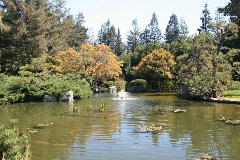
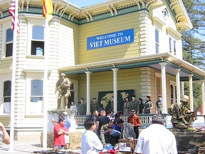
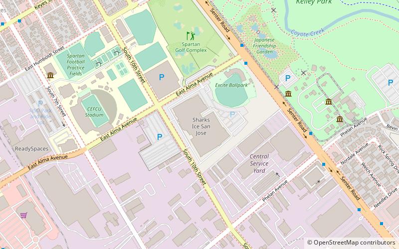
Nearby attractions include: San Jose Municipal Stadium, Japanese Friendship Garden, Viet Museum, History Park.
Frequently Asked Questions (FAQ)
Which popular attractions are close to Kelley Park?
Nearby attractions include History Park, San Jose (6 min walk), Viet Museum, San Jose (6 min walk), Japanese Friendship Garden, San Jose (7 min walk), Trolley Barn, San Jose (7 min walk).
How to get to Kelley Park by public transport?
The nearest stations to Kelley Park:
Bus
Bus
- Senter Road & East Alma Avenue • Lines: 73 (7 min walk)
- Kelley Park • Lines: 73 (9 min walk)


