Mission Peak, Fremont
Map
Gallery
Facts and practical information
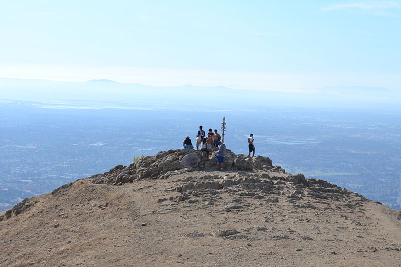
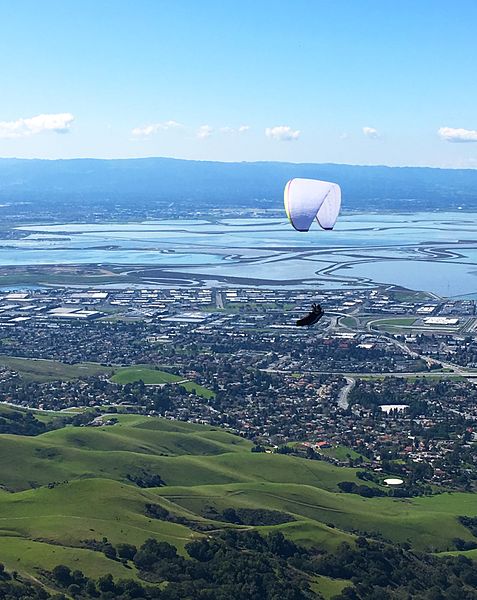
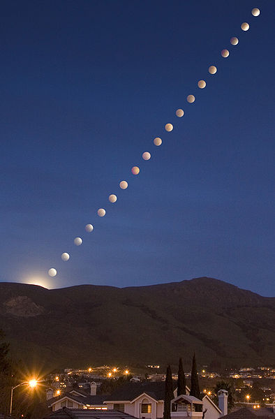
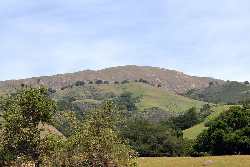
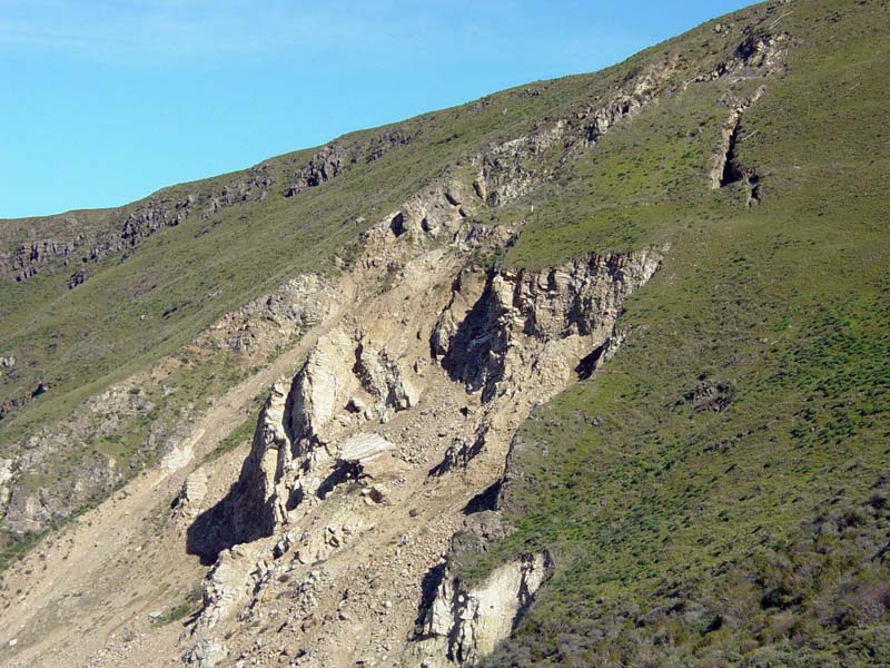
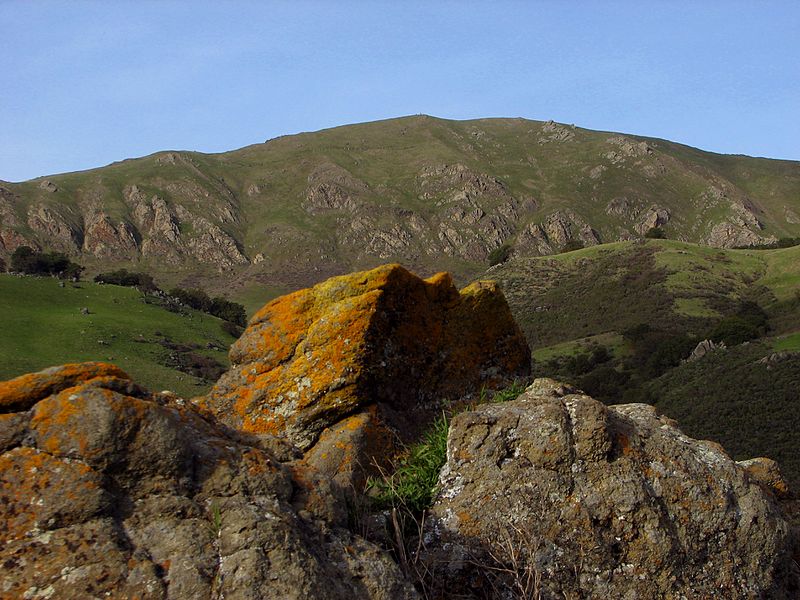
Mission Peak is a mountain peak located east of Fremont, California. It is the northern summit on a ridge that includes Mount Allison and Monument Peak. Mission Peak has symbolic importance, and is depicted on the logo of the City of Fremont. It is located in Mission Peak Regional Preserve, a regional park operated by the East Bay Regional Park District. ()
Elevation: 2520 ftCoordinates: 37°30'57"N, 121°53'46"W
Day trips
Mission Peak – popular in the area (distance from the attraction)
Nearby attractions include: Aqua Adventure, Niles Canyon, Mission San José, Lake Elizabeth.
Frequently Asked Questions (FAQ)
How to get to Mission Peak by public transport?
The nearest stations to Mission Peak:
Bus
Bus
- Ohlone College - Key C • Lines: 210 (33 min walk)
- Ohlone College - Key D • Lines: 210, 217 (34 min walk)


