West Canada Creek, West Canada Lake Wilderness Area
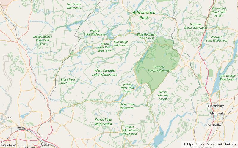
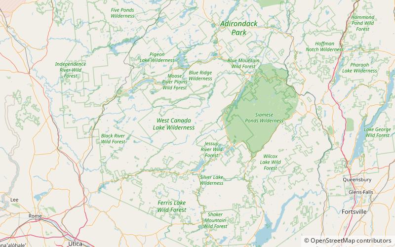
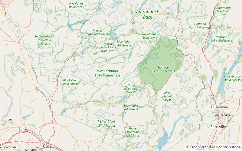
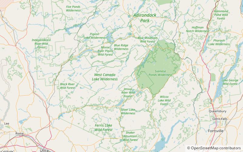
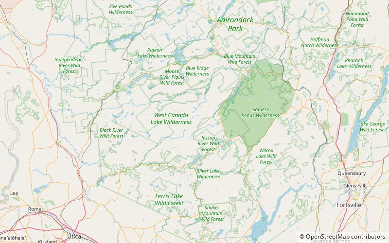
Map

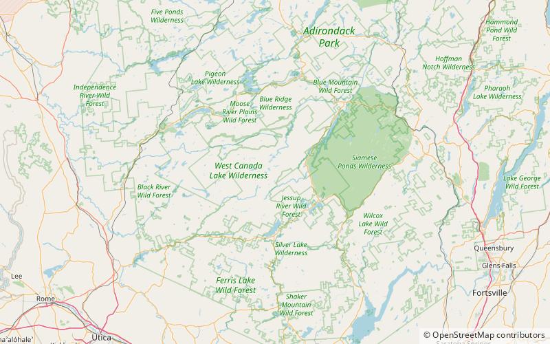
Map

Facts and practical information
The West Canada Creek is a 76-mile-long river in upstate New York, United States. West Canada Creek is an important water way in Hamilton, Oneida, and Herkimer counties, draining the south part of the Adirondack Mountains before emptying into the Mohawk River near the Village of Herkimer. The name "Canada" is derived from an Iroquoian word for "village". ()
Elevation: 2343 ft a.s.l.Coordinates: 43°35'37"N, 74°36'38"W
Address
West Canada Lake Wilderness Area
ContactAdd
Social media
Add
Day trips
West Canada Creek – popular in the area (distance from the attraction)
Nearby attractions include: Pillsbury Mountain Forest Fire Observation Station, Witchhopple Lake, Clear Lake, Salmon Lake.


