Wimer Bridge, Rogue River
Map

Map

Facts and practical information
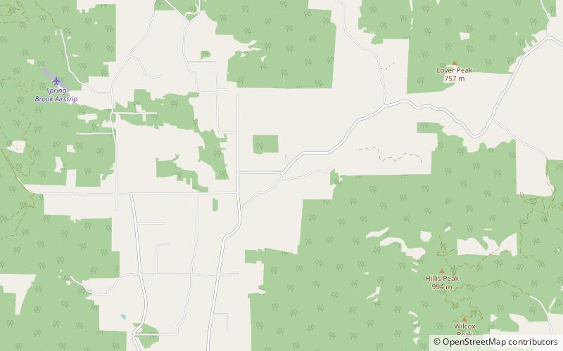
The Wimer Bridge is a covered bridge over Evans Creek in Jackson County in the U.S. state of Oregon. The version that was listed on the National Register of Historic Places, was built in 1927. This structure, 85 feet long, carried East Evans Creek County Road over the creek in the rural community of Wimer. The creek is a tributary of the Rogue River, which it joins at the small city of Rogue River. ()
Built: 1927 (99 years ago)Coordinates: 42°32'17"N, 123°9'0"W
Day trips
Wimer Bridge – popular in the area (distance from the attraction)
Nearby attractions include: Oregon Vortex.

