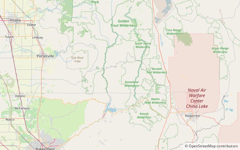
Sirretta Peak, Sequoia National Forest

Map
Facts and practical information
Sirretta Peak is a mountain located in the southern Sierra Nevada in California. It rises to an elevation of 9,982 feet north of Highway 178 and Lake Isabella. The high elevation means that most of the precipitation the mountain receives is snow. ()
Elevation: 9982 ftProminence: 97 ftCoordinates: 35°55'26"N, 118°20'6"W
Address
Sequoia National Forest
ContactAdd
Social media
Add
Day trips
Sirretta Peak – popular in the area (distance from the attraction)
Nearby attractions include: Sherman Pass.
