Cerro San Luis Obispo, San Luis Obispo
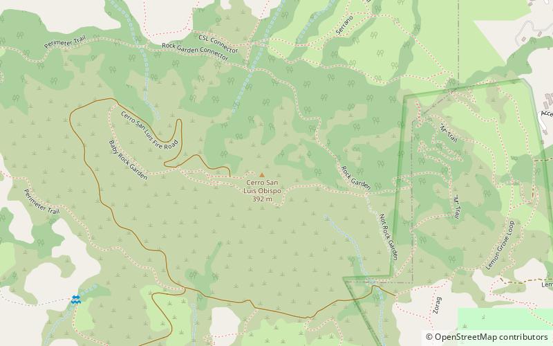
Map
Map

Facts and practical information
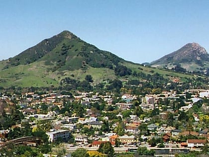
Cerro San Luis Obispo is a 1,292 feet mountain in San Luis Obispo, California. It is part of the chain of peaks called the Nine Sisters. It is a common spot for hiking, jogging and mountain biking, and has steep terrain. Below the west side of the visible peak, there is a large plateau with a large wooden stage on the east end. The large white "M" present on the east face derives from Mission College Preparatory Catholic High School. ()
Elevation: 1292 ftCoordinates: 35°16'58"N, 120°40'48"W
Address
San Luis Obispo
ContactAdd
Social media
Add
Day trips
Cerro San Luis Obispo – popular in the area (distance from the attraction)
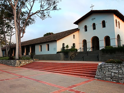
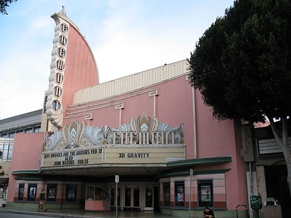
Nearby attractions include: Mission San Luis Obispo de Tolosa, Bubblegum Alley, San Luis Obispo Museum of Art, Fremont Theater.
Frequently Asked Questions (FAQ)
Which popular attractions are close to Cerro San Luis Obispo?
Nearby attractions include Saint Anne Byzantine Catholic Church, San Luis Obispo (22 min walk), San Luis Obispo Museum of Art, San Luis Obispo (23 min walk), Palm Theatre, San Luis Obispo (24 min walk), Mission San Luis Obispo de Tolosa, San Luis Obispo (24 min walk).
How to get to Cerro San Luis Obispo by public transport?
The nearest stations to Cerro San Luis Obispo:
Bus
Bus
- Marsh at Archer • Lines: 2A, 2B (22 min walk)
- Nipomo at Higuera • Lines: 2A, 2B (22 min walk)
