Sepulveda Dam, Los Angeles
Map

Gallery
Facts and practical information
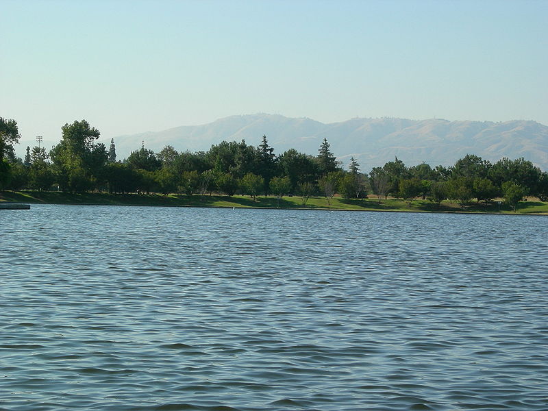
The Sepulveda Dam is a project of the U.S. Army Corps of Engineers designed to withhold winter flood waters along the Los Angeles River. Completed in 1941, at a cost of $6,650,561, it is located south of center in the San Fernando Valley, approximately eight miles east of the river's source in the western end of the Valley, in Los Angeles, California. ()
Opened: 1941 (85 years ago)Length: 2.93 miCoordinates: 34°10'2"N, 118°28'23"W
Day trips
Sepulveda Dam – popular in the area (distance from the attraction)
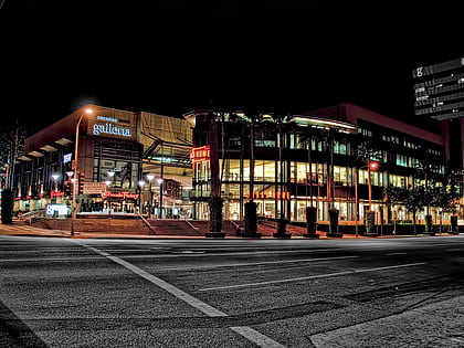
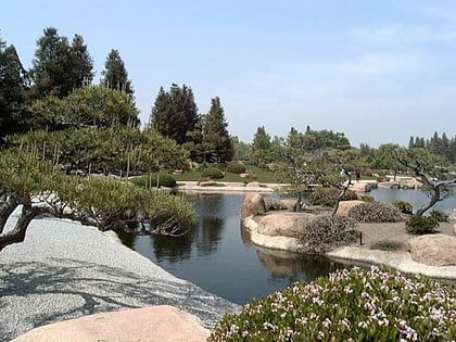
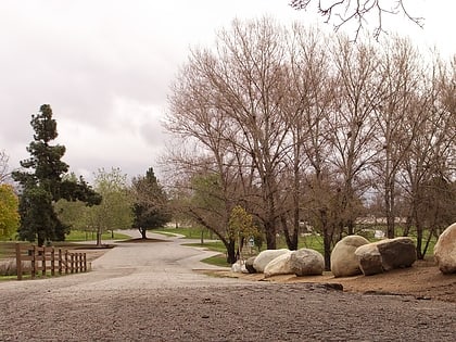
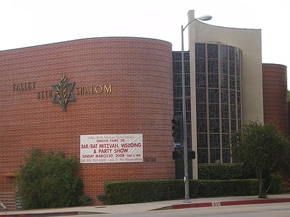
Nearby attractions include: Sherman Oaks Galleria, The Japanese Garden, Woodley Avenue Park, Valley Beth Shalom.
Frequently Asked Questions (FAQ)
Which popular attractions are close to Sepulveda Dam?
Nearby attractions include Valley Beth Shalom, Los Angeles (21 min walk), Woodley Avenue Park, Los Angeles (23 min walk).
How to get to Sepulveda Dam by public transport?
The nearest stations to Sepulveda Dam:
Bus
Bus
- Sepulveda (25 min walk)

 Metro & Regional Rail