Acrodectes Peak, Kings Canyon National Park
#44 among attractions in Kings Canyon National Park


Facts and practical information
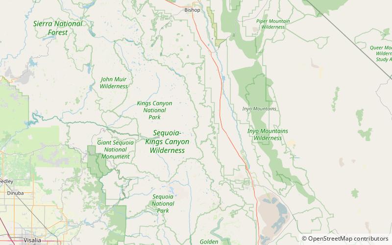
Acrodectes Peak is a mountain peak of the Sierra Nevada, located within Kings Canyon National Park in southern Fresno County, California. ()
Kings Canyon National Park United States
Acrodectes Peak – popular in the area (distance from the attraction)
Nearby attractions include: Mount Rixford, Rae Lakes, Crater Mountain, Fin Dome.
 Mountain
Mount Rixford, Kings Canyon National Park
138 min walk • Mount Rixford is a 12,887-foot-elevation mountain summit located one mile west of the crest of the Sierra Nevada mountain range, in the southeast corner of Fresno County, in northern California. It is situated in Kings Canyon National Park, 11.5 miles west of the community ...
 Nature, Natural attraction, Lake
Rae Lakes, Kings Canyon National Park
101 min walk • Rae Lakes is a series of lakes in the Sierra Nevada, located in Kings Canyon National Park, eastern Fresno County, California. The lakes are located on the John Muir Trail at the base of Black Mountain.
 Mountain
Crater Mountain, Kings Canyon National Park
126 min walk • Crater Mountain is a 12,874-foot-elevation mountain summit located west of the crest of the Sierra Nevada mountain range, in Fresno County of northern California, United States.
 Mountain
Fin Dome, Kings Canyon National Park
99 min walk • Fin Dome is an 11,673-foot-elevation granite summit located 1.5 mile west of the crest of the Sierra Nevada mountain range, in the southeast corner of Fresno County, in northern California. It is situated in the Rae Lakes area of Kings Canyon National Park, approximately 15.5 miles west of the community of Independence.
 Mountain
Mount Wynne, Kings Canyon National Park
142 min walk • Mount Wynne is a 13,179-foot-elevation mountain summit located one mile west of the crest of the Sierra Nevada mountain range, in Fresno County of northern California, United States.
 Mountain
Mount Ickes, Kings Canyon National Park
156 min walk • Mount Ickes is a 12,959-foot-elevation mountain summit located west of the crest of the Sierra Nevada mountain range, in Fresno County of northern California, United States. It is situated in eastern Kings Canyon National Park, 13.5 miles northwest of the community ...
 Mountain
Mount Cedric Wright, Kings Canyon National Park
78 min walk • Mount Cedric Wright is a 12,372-foot-elevation mountain summit located one mile west of the crest of the Sierra Nevada mountain range, in Fresno County of northern California, United States.
 Nature, Natural attraction, Mountain
Diamond Peak, Kings Canyon National Park
65 min walk • Diamond Peak is a 13,133-foot mountain in the Sierra Nevada on the boundary between Fresno and Inyo Counties, California in the United States. It is on the Sierra Crest. The west side of Diamond Peak is located in Kings Canyon National Park, at the headwater of Woods Creek, and the east side is located in the Inyo National Forest.
 Nature, Natural attraction, Mountain
Mount Baxter, Kings Canyon National Park
13 min walk • Mount Baxter is a peak along the crest of the Sierra Nevada in California. Mount Baxter is on the boundary between Kings Canyon National Park and the John Muir Wilderness just north of Baxter Pass and to the northeast of the Rae Lakes, a popular backpacking destination along the John Muir Trail.
 Nature, Natural attraction, Mountain
Mount Clarence King, Kings Canyon National Park
112 min walk • Mount Clarence King, located in the Kings Canyon National Park, is named for Clarence King, who worked on the Whitney Survey, the first geological survey of California. King later became the first chief of the United States Geological Survey. The Peak is located along King Spur, a sub-range of the California's Sierra Nevada.
 Nature, Natural attraction, Mountain
Mount Cotter, Kings Canyon National Park
120 min walk • Mount Cotter, located in the Kings Canyon National Park, is named for Dick Cotter who was a packer with the California Geological Survey in 1864. Cotter and Clarence King made the first ascent of Mount Tyndall. The Mountain has an elevation of 12,719 feet. The mountain is easily climbed from Gardiner Basin with a class class 2-3 slope.
