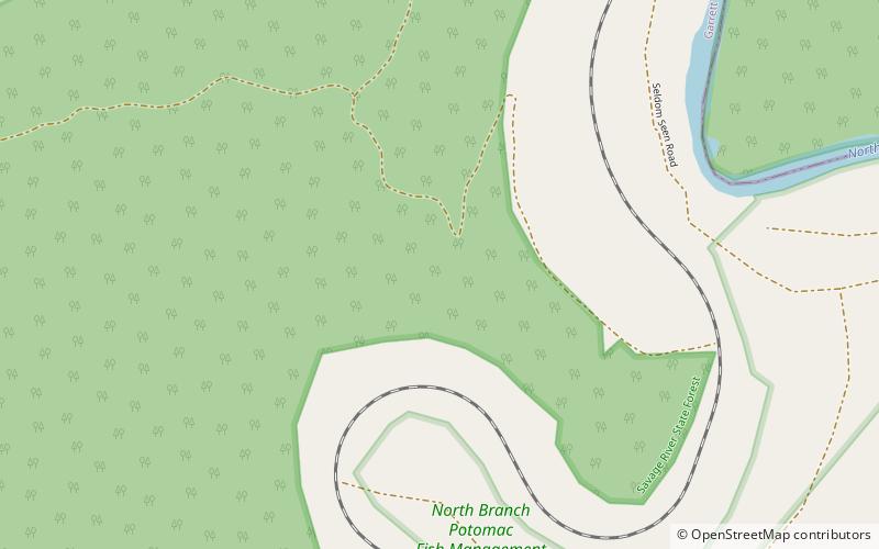
Meyer Site, Savage River State Forest

Map
Facts and practical information
The Meyer Site is an archaeological site near Westernport in Garrett County, Maryland, United States. It is located along Chestnut Grove Road on the riverside edge of an alluvial bottom on the west side of the North Branch of the Potomac River. It is the site of a Monongahela culture village, which is the uppermost Late Prehistoric village known on the North Branch. ()
Coordinates: 39°27'20"N, 79°6'50"W
Address
Savage River State Forest
ContactAdd
Social media
Add
Day trips
Meyer Site – popular in the area (distance from the attraction)
Nearby attractions include: Allegheny Wildlife Management Area.
