Mount Shasta, Mount Shasta Wilderness
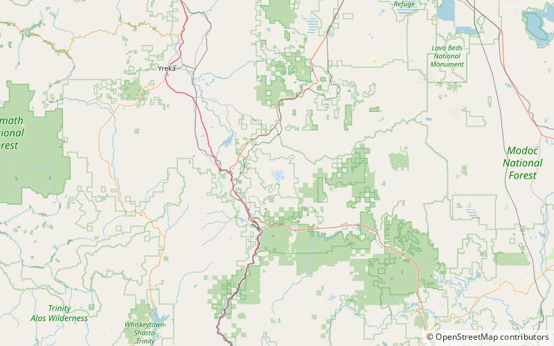
Map
Gallery
Facts and practical information
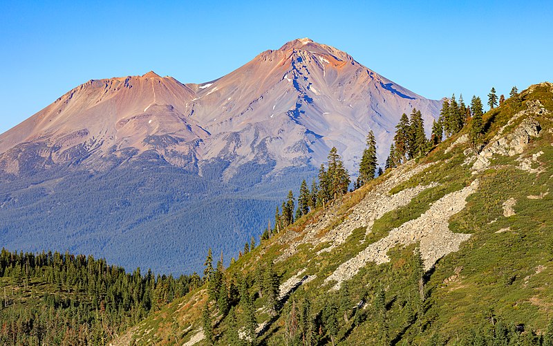
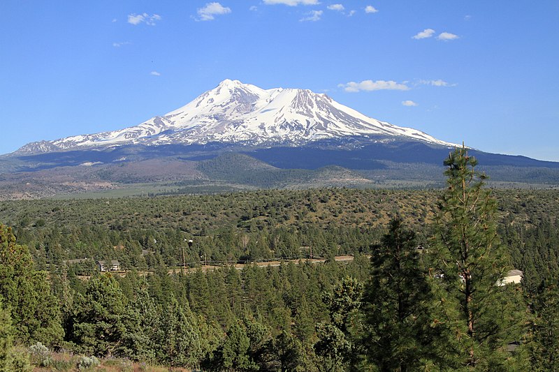
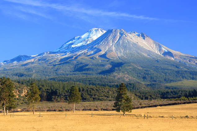
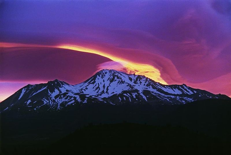
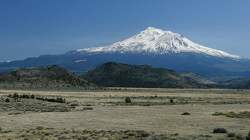
Mount Shasta is a potentially active volcano at the southern end of the Cascade Range in Siskiyou County, California. At an elevation of 14,179 feet, it is the second-highest peak in the Cascades and the fifth-highest in the state. Mount Shasta has an estimated volume of 85 cubic miles, which makes it the most voluminous stratovolcano in the Cascade Volcanic Arc. The mountain and surrounding area are part of the Shasta–Trinity National Forest. ()
Day trips
Mount Shasta – popular in the area (distance from the attraction)
Nearby attractions include: Shastina, Whitney Glacier, Bolam Glacier, Hotlum Glacier.
Frequently Asked Questions (FAQ)
Which popular attractions are close to Mount Shasta?
Nearby attractions include Bolam Glacier, Mount Shasta Wilderness (9 min walk), Whitney Glacier, Mount Shasta Wilderness (14 min walk).


