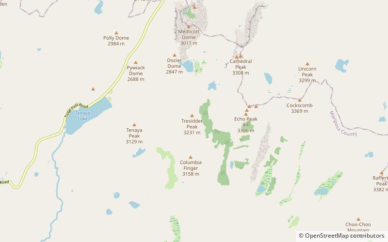
Tresidder Peak, Yosemite National Park
Map

Map

Facts and practical information
Tresidder Peak is a mountain in Yosemite National Park, California. The mountain has two summits, about half a mile apart, with the southern peak being the highest. The elevation of the south peak has not been exactly determined but is given as between 10,605 feet and 10,645 feet. The northern peak is identified on maps as Peak 10,450 and has an elevation of 10,450 feet. ()
First ascent: 1966Prominence: 880 ftCoordinates: 37°49'47"N, 119°25'19"W
Address
Yosemite National Park
ContactAdd
Social media
Add
Day trips
Tresidder Peak – popular in the area (distance from the attraction)
Nearby attractions include: Pywiack Dome, Echo Peaks, Tenaya Peak, Cathedral Lakes.


