Storrow Drive, Boston
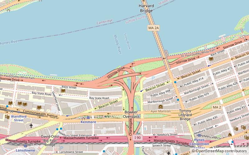
Map
Facts and practical information
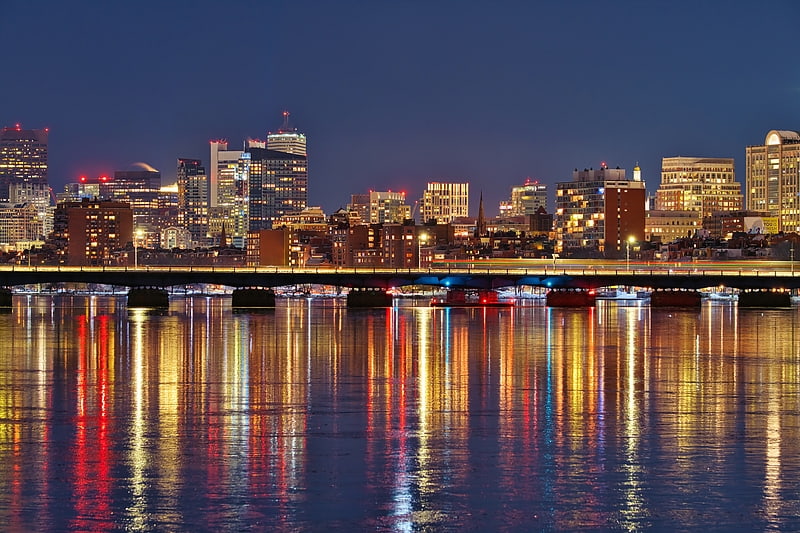
Storrow Drive, officially James Jackson Storrow Memorial Drive, is a major crosstown parkway in Boston, Massachusetts, running east–west along the southern bank of the Charles River. It is restricted to cars; trucks and buses are not permitted on it, while pedestrian access is available via walking paths on the Charles River side of the road. Boston drivers use the route for quick access to downtown locations. ()
Length: 1.98 miCoordinates: 42°21'4"N, 71°5'34"W
Address
Fenway - Kenmore - Audubon Circle - LongwoodBoston
ContactAdd
Social media
Add
Getting there by public transportation
Public transportation stops near this location
- Metro
- Bus
- Light rail
- Train
 Metro
Metro
- Calculate routeKenmore 5 min walk
- Calculate routeHynes Convention Center 9 min walk
- Calculate routeBlandford Street 10 min walk
- Calculate routeBoston University East 16 min walk
- Calculate routeKenmore Station Busway 6 min walk
- Calculate routeMassachusetts Ave @ Marlborough St 6 min walk
- Calculate routeIpswich St @ Lansdowne St 8 min walk
- Calculate routeBrookline Ave opp Newbury St 8 min walk
- Calculate routeLansdowne 11 min walk
- Calculate routeBoston Back Bay 25 min walk
- Calculate routeRuggles 26 min walk
- Calculate routeMassachusetts Avenue 22 min walk
- Calculate routeKendall/MIT 23 min walk
- Calculate routeBack Bay 25 min walk
- Calculate routeRuggles 26 min walk
Maps MBTA Subway
MBTA SubwayDay trips
Storrow Drive – popular in the area (distance from the attraction)
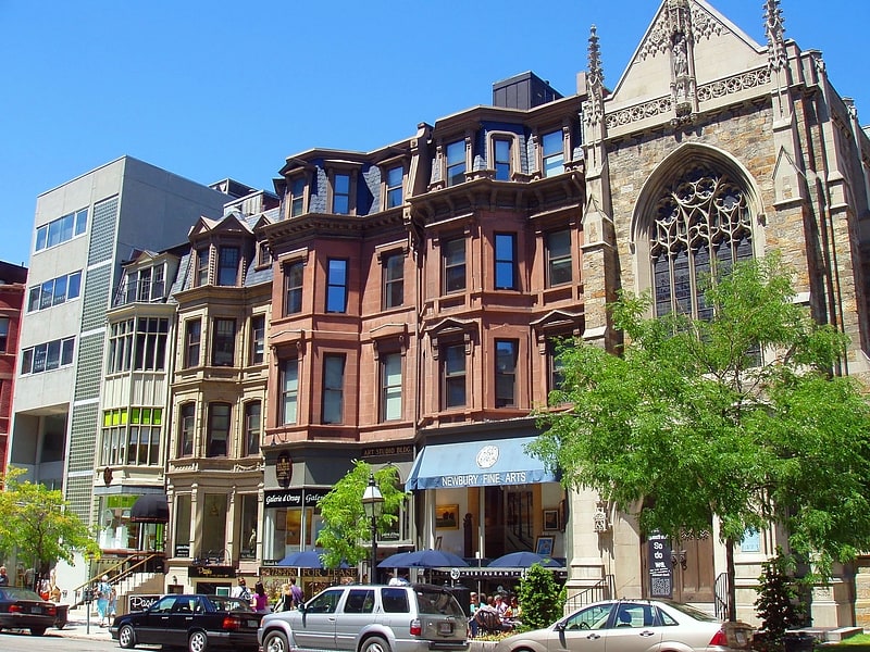
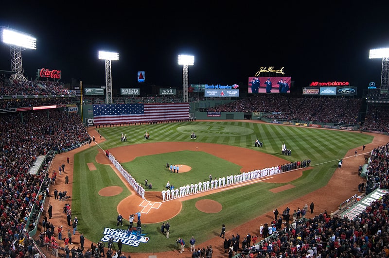
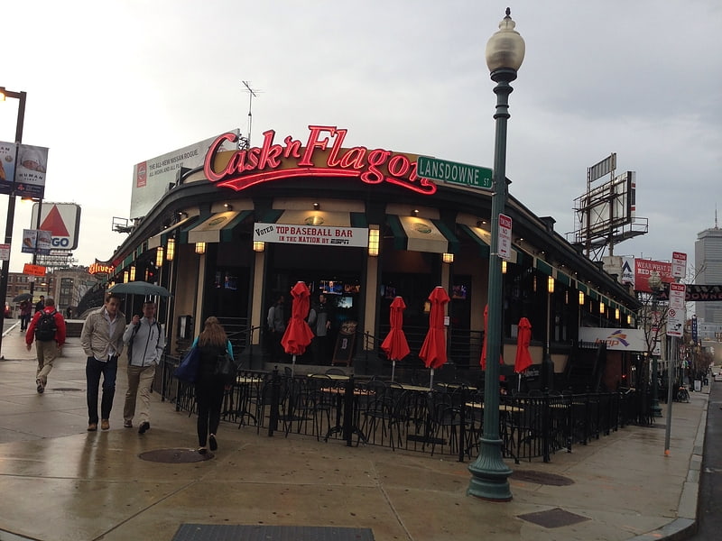
Nearby attractions include: Newbury Street, Fenway Park, Cask 'n Flagon, Newbury Comics.


Frequently Asked Questions (FAQ)
Which popular attractions are close to Storrow Drive?
Nearby attractions include Statue of Leif Erikson, Boston (4 min walk), Bowker Overpass, Boston (5 min walk), Kenmore Square, Boston (6 min walk), Fenway Studios, Boston (7 min walk).
How to get to Storrow Drive by public transport?
The nearest stations to Storrow Drive:
Light rail
Bus
Train
Metro
Light rail
- Kenmore • Lines: B, C, D (5 min walk)
- Hynes Convention Center • Lines: B, C, D (9 min walk)
Bus
- Kenmore Station Busway • Lines: 57 (6 min walk)
- Massachusetts Ave @ Marlborough St • Lines: 1, Ct1 (6 min walk)
Train
- Lansdowne (11 min walk)
- Boston Back Bay (25 min walk)
Metro
- Massachusetts Avenue • Lines: Orange (22 min walk)
- Kendall/MIT • Lines: Red (23 min walk)