Schroeder Mountain, Tahoe National Forest
Map

Gallery

Facts and practical information
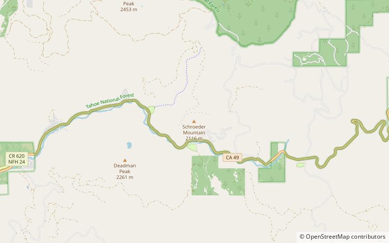
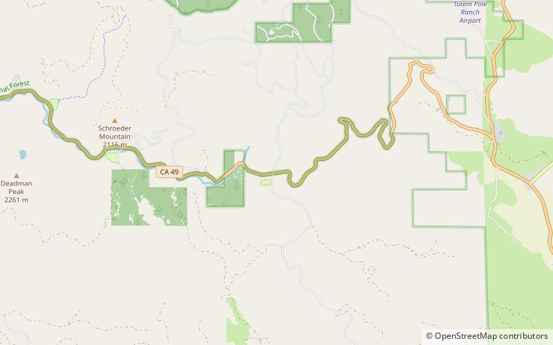
Schroeder Mountain is a mountain in the California's Sierra Nevada, on the Tahoe National Forest. It is located 0.8 miles east of California State Route 49 in Sierra County. Its elevation is 6,942 feet. ()
Elevation: 6942 ftCoordinates: 39°37'39"N, 120°31'44"W
Address
Tahoe National Forest
ContactAdd
Social media
Add
Day trips
Schroeder Mountain – popular in the area (distance from the attraction)
Nearby attractions include: Yuba Pass.

