Iron Mountain, Roosevelt National Forest

Gallery (2)
Map
Map
Gallery
Facts and practical information
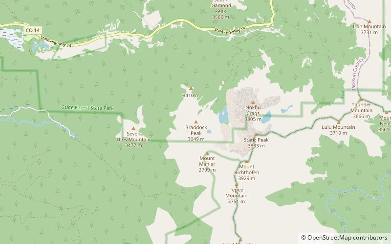
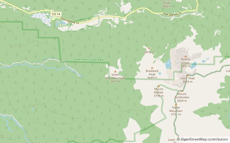
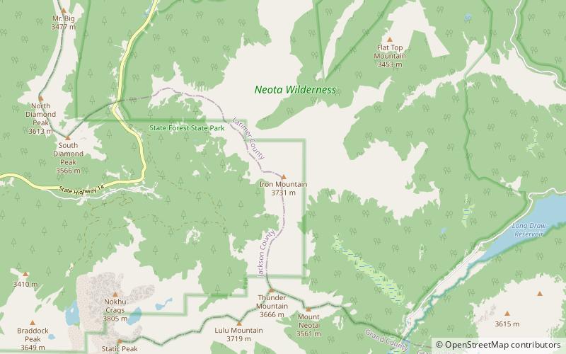
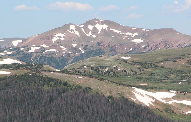
Iron Mountain is a mountain summit in the Never Summer Mountains of the Rocky Mountains of North America. The 12,270-foot peak is located 2.4 miles east-southeast of the Cameron Pass, Colorado, United States, on the drainage divide separating State Forest State Park and Jackson County from Roosevelt National Forest and Larimer County. ()
Elevation: 12270 ftProminence: 1005 ftCoordinates: 40°30'25"N, 105°51'7"W
Address
Roosevelt National Forest
ContactAdd
Social media
Add
Day trips