Huron Peak, Collegiate Peaks Wilderness

Gallery (1)
Map
Map
Facts and practical information
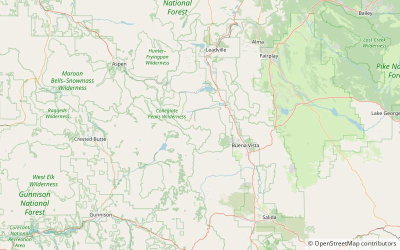
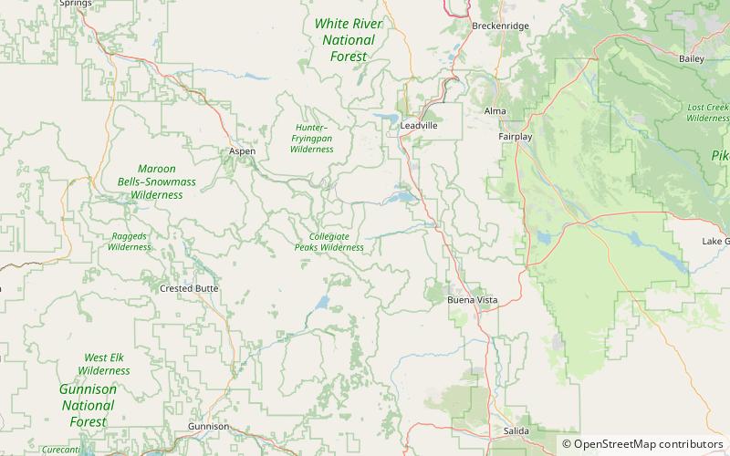
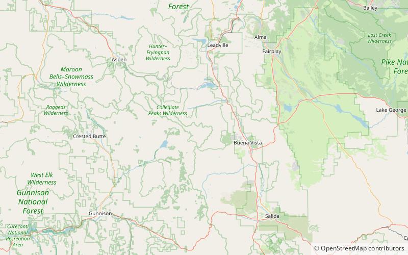
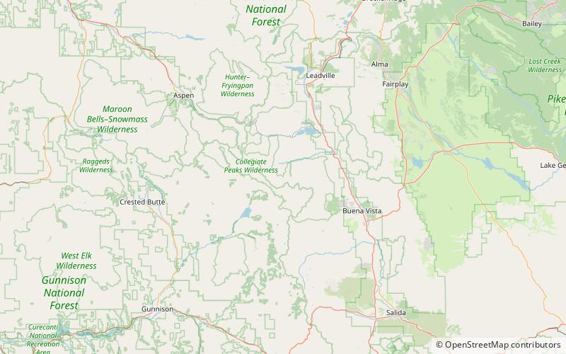
Huron Peak is a high mountain summit of the Collegiate Peaks in the Sawatch Range of the Rocky Mountains of North America. The 14,012-foot fourteener is located in the Collegiate Peaks Wilderness of San Isabel National Forest, 18.0 miles west-northwest of the Town of Buena Vista in Chaffee County, Colorado, United States. ()
Elevation: 14012 ftProminence: 1423 ftCoordinates: 38°56'43"N, 106°26'17"W
Address
Collegiate Peaks Wilderness
ContactAdd
Social media
Add
Day trips