Dr. Aurelia Reinhardt Redwood Regional Park, Oakland
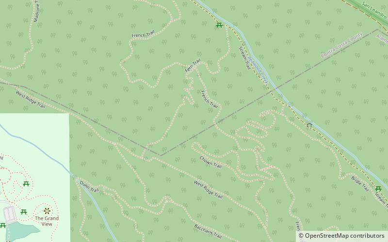
Map

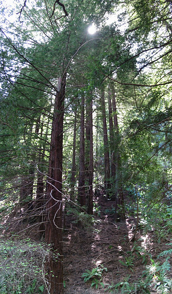
Gallery

Facts and practical information
Dr. Aurelia Reinhardt Redwood Regional Park is a part of the East Bay Regional Parks District in the San Francisco Bay Area. It is located in the hills east of Oakland. The park contains the largest remaining natural stand of coast redwood found in the East Bay. The park is part of a historical belt of coast redwood extending south to Leona Canyon Regional Open Space Preserve and east to Moraga. ()
Opened: 1939 (87 years ago)Elevation: 1106 ft a.s.l.Coordinates: 37°48'51"N, 122°9'54"W
Day trips
Dr. Aurelia Reinhardt Redwood Regional Park – popular in the area (distance from the attraction)
Nearby attractions include: Chabot Space and Science Center, Joaquin Miller Park, Roberts Regional Recreation Area, The Skyline Serpentine Prairie in Redwood Regional Park.
Frequently Asked Questions (FAQ)
Which popular attractions are close to Dr. Aurelia Reinhardt Redwood Regional Park?
Nearby attractions include Roberts Regional Recreation Area, Oakland (13 min walk), Chabot Space and Science Center, Oakland (24 min walk).
How to get to Dr. Aurelia Reinhardt Redwood Regional Park by public transport?
The nearest stations to Dr. Aurelia Reinhardt Redwood Regional Park:
Bus
Bus
- Skyline Boulevard & Roberts Park • Lines: 339 (16 min walk)
- Chabot Space and Science Center • Lines: 339 (23 min walk)


