Fayetteville National Cemetery, Fayetteville
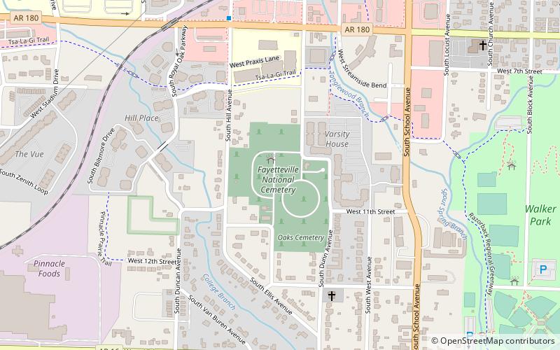
Map

Map

Facts and practical information
Fayetteville National Cemetery is a United States National Cemetery located on the southern side of the city of Fayetteville in Washington County, Arkansas. It encompasses nearly 15 acres. As of 2020, over 11,000 veterans and family members were interred in this location, with approximately 200 new burials per year. ()
Built: 1867 (159 years ago)Coordinates: 36°3'10"N, 94°10'7"W
Day trips
Fayetteville National Cemetery – popular in the area (distance from the attraction)
Nearby attractions include: Donald W. Reynolds Razorback Stadium, Baum Stadium, Fayetteville Historic Square, Walton Arts Center.
Frequently Asked Questions (FAQ)
Which popular attractions are close to Fayetteville National Cemetery?
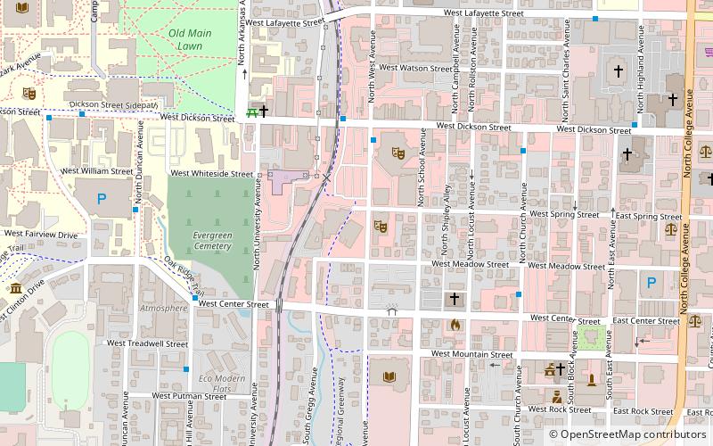
Nearby attractions include World Peace Wetland Prairie, Fayetteville (7 min walk), Fayetteville Public Library, Fayetteville (17 min walk), John S. Vest House, Fayetteville (19 min walk), Evergreen Cemetery, Fayetteville (21 min walk).
How to get to Fayetteville National Cemetery by public transport?
The nearest stations to Fayetteville National Cemetery:
Bus
Bus
- MLK Blvd @ Beechwood Ave • Lines: 1 (26 min walk)
- Union Station (29 min walk)


