Swamp Rabbit Trail, Greenville
Map

Map

Facts and practical information
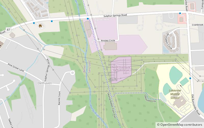
The Prisma Health Swamp Rabbit Trail is a 19.9-mile multi-use rail trail in Greenville County, South Carolina, that largely follows the bed of a former railroad that had been nicknamed after the indigenous swamp rabbit. South-to-north the current trail begins at Greenville Technical College, crosses the city of Greenville, proceeds through Falls Park and the campus of Furman University, and ends about a mile north of the Travelers Rest city limits. ()
Length: 19.9 miSeason: All yearCoordinates: 34°53'26"N, 82°26'21"W
Day trips
Swamp Rabbit Trail – popular in the area (distance from the attraction)
Nearby attractions include: Greenville County Museum of Art, Upcountry History Museum, Furman University Asian Garden, Third Presbyterian Church.
Frequently Asked Questions (FAQ)
How to get to Swamp Rabbit Trail by public transport?
The nearest stations to Swamp Rabbit Trail:
Bus
Bus
- Sulphur Springs Rd @ Swamp Rabbit Trail • Lines: 2B (6 min walk)
- Old Buncombe Rd @ Lakeview Middle School • Lines: 2B (11 min walk)


