Cherry Creek Range, Goshute Canyon Wilderness

Gallery (1)
Map
Map
Facts and practical information
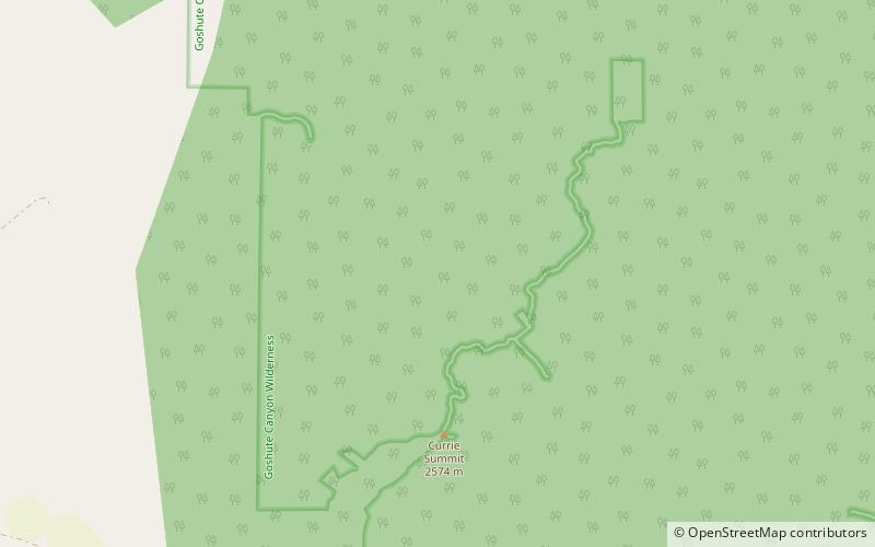
The Cherry Creek Range is a line of mountains, Basin and Range faulted, in northern White Pine and southern Elko Counties, in northeastern Nevada in the western United States. The range runs generally north–south for approximately 50 miles. The highest point in the range is an unnamed peak, located just south of the border between the counties. ()
Elevation: 10458 ftCoordinates: 40°3'35"N, 114°52'59"W
Address
Goshute Canyon Wilderness
ContactAdd
Social media
Add