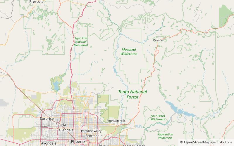
Horseshoe Dam, Tonto National Forest
Map

Map

Facts and practical information
The Horseshoe Dam is a dam located North of Phoenix, Arizona. The dam is 1,500 feet long, 144 feet high and was built between 1944–1946. The dam forms the Horseshoe Lake as it slows the passage of the Verde River. The dam was listed on the National Register of Historic Places in 2017. ()
Opened: 1946 (80 years ago)Coordinates: 33°59'1"N, 111°42'32"W
Address
Tonto National Forest
ContactAdd
Social media
Add
Day trips
Horseshoe Dam – popular in the area (distance from the attraction)
Nearby attractions include: Horseshoe Lake.

