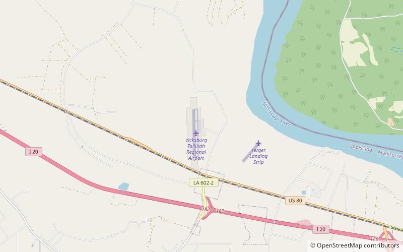
Southern Heritage Air Foundation, Tallulah
Map

Map

Facts and practical information
Southern Heritage Air Foundation (address: 179 Vtr Airport Rd) is a place located in Tallulah (Louisiana state) and belongs to the category of history museum, museum.
It is situated at an altitude of 79 feet, and its geographical coordinates are 32°21'13"N latitude and 91°1'30"W longitude.
Coordinates: 32°21'13"N, 91°1'30"W
