Principal Riverwalk, Des Moines
Map
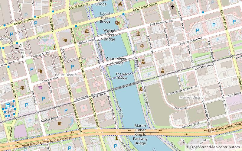
Map

Facts and practical information
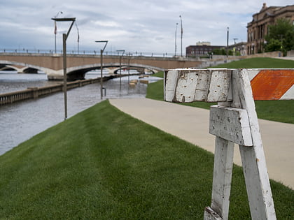
Principal Riverwalk is a recreational park district along the banks of the Des Moines River in Des Moines, Iowa. After eight years of work, it was completed in January 2013. ()
Coordinates: 41°35'7"N, 93°36'59"W
Address
Downtown Des MoinesDes Moines
ContactAdd
Social media
Add
Day trips
Principal Riverwalk – popular in the area (distance from the attraction)
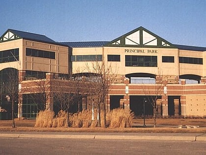
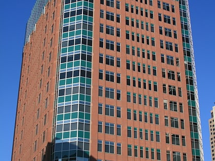
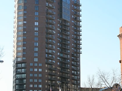
Nearby attractions include: Principal Park, Wells Fargo Arena, HUB Tower, Younker Brothers Department Store.
Frequently Asked Questions (FAQ)
Which popular attractions are close to Principal Riverwalk?
Nearby attractions include Court Avenue Bridge, Des Moines (2 min walk), Civic Center Historic District, Des Moines (4 min walk), United States Post Office, Des Moines (5 min walk), Old Downtown Des Moines Library, Des Moines (5 min walk).
How to get to Principal Riverwalk by public transport?
The nearest stations to Principal Riverwalk:
Bus
Bus
- E Grand Ave / E 4th St • Lines: 1, 4, D-Line (10 min walk)
- Platform K • Lines: 60 (11 min walk)
