Shady Lake Recreation Area, Ouachita National Forest
Map

Map

Facts and practical information
Shady Lake Recreation Area is a campground and public recreation area in southwestern Ouachita National Forest, southwest of Mena, Arkansas and west of Glenwood, Arkansas. The area is oriented around Shady Lake, a body of water on the South Fork Saline River impounded by a dam built c. 1940 by the Civilian Conservation Corps. The area is administered by the United States Forest Service. ()
Built: 1940 (86 years ago)Elevation: 1132 ft a.s.l.Coordinates: 34°21'45"N, 94°1'56"W
Day trips
Shady Lake Recreation Area – popular in the area (distance from the attraction)
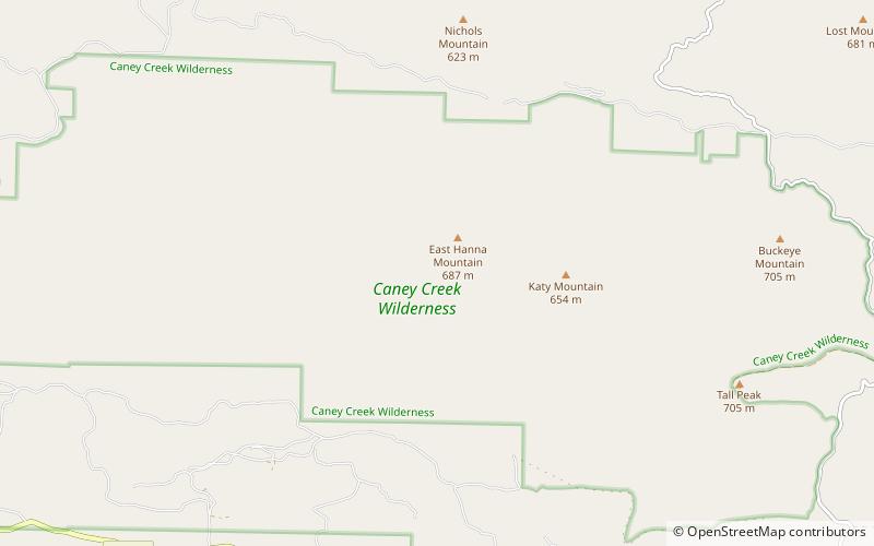
Nearby attractions include: Bard Springs Dam No. 2, Bard Springs Dam No. 1, Bard Springs Bathhouse, Caney Creek Wilderness.


