Regis, Denver

Map
Facts and practical information
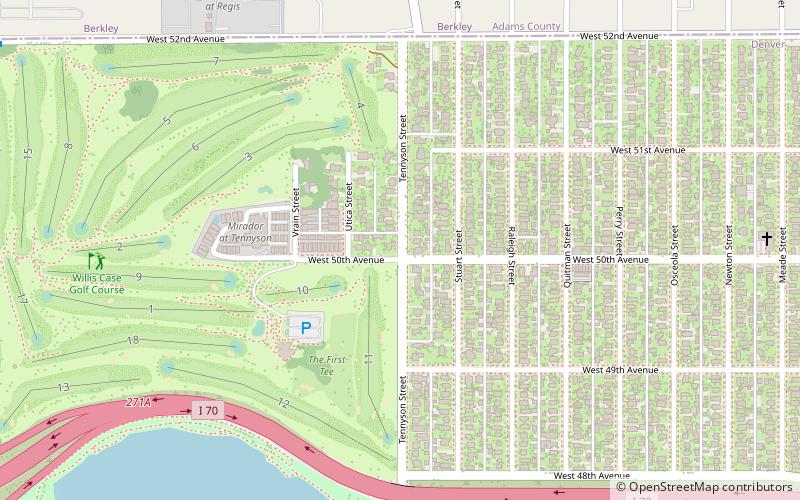
Regis is a neighborhood in Denver. Located in North Denver, its boundaries are Harlan Street to the west, Clear Creek to the northwest, 52nd Avenue and the northern border of the Regis University campus to the north, Federal Boulevard to the east, and highway I-70 to the south. The Berkeley neighborhood is adjacent to its south end and the Chaffee Park neighborhood is adjacent to its east end. Located in the neighborhood is Regis University and the Willis Case golf course. ()
Coordinates: 39°47'15"N, 105°2'38"W
Address
Northwest Denver (Regis)Denver
ContactAdd
Social media
Add
Day trips
Regis – popular in the area (distance from the attraction)
Nearby attractions include: Lakeside Amusement Park, Oriental Theater, Lake Rhoda, Willis Case Golf Course.
Frequently Asked Questions (FAQ)
Which popular attractions are close to Regis?
Nearby attractions include Regis University, Denver (18 min walk), Tower of jewels, Denver (19 min walk), Wat Buddhawararam, Denver (19 min walk), Oriental Theater, Denver (19 min walk).
How to get to Regis by public transport?
The nearest stations to Regis:
Train
Train
- 60th & Sheridan - Arvada Gold Strike (30 min walk)
- Clear Creek - Federal (40 min walk)


