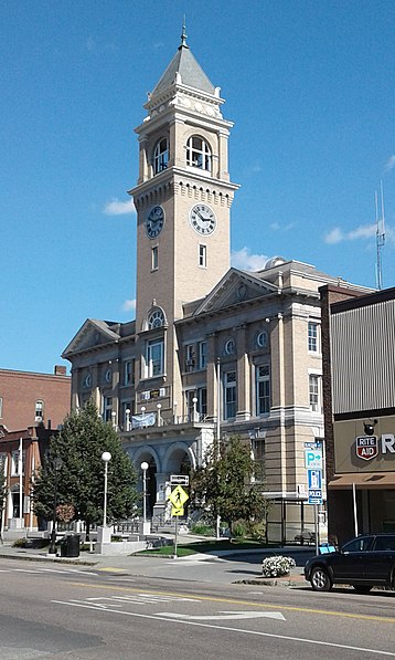
Montpelier City Hall, Montpelier
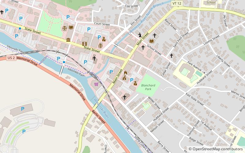
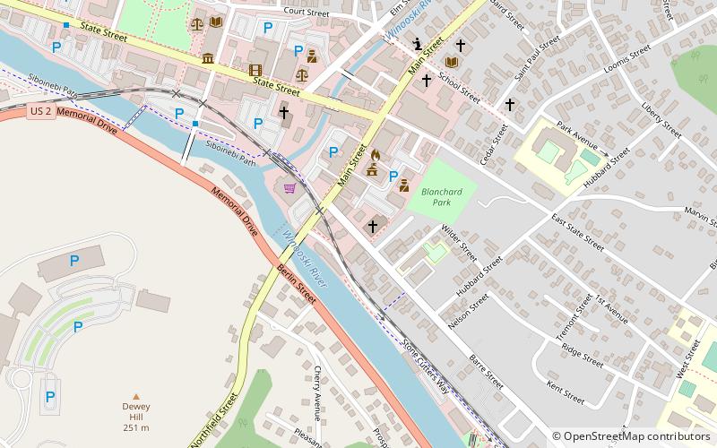
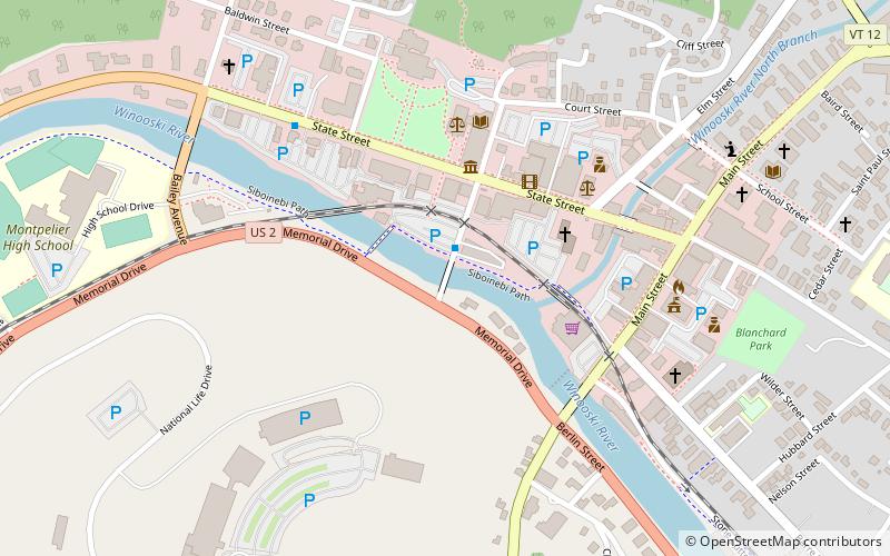
Map

Gallery

Facts and practical information
Montpelier City Hall is located in Montpelier, U.S. state of Vermont. The four-story structure opened in 1909. ()
Completed: 1909 (117 years ago)Floors: 4Coordinates: 44°15'33"N, 72°34'33"W
Day trips
Montpelier City Hall – popular in the area (distance from the attraction)
Nearby attractions include: Vermont State House, The Pavilion, Christ Episcopal Church, Saint Augustine Church.
Frequently Asked Questions (FAQ)
Which popular attractions are close to Montpelier City Hall?
Nearby attractions include Saint Augustine Church, Montpelier (2 min walk), Christ Episcopal Church, Montpelier (4 min walk), T.W.Wood Gallery: A Museum of American Art, Montpelier (4 min walk), Kellogg-Hubbard Library, Montpelier (5 min walk).


