Deadwood Reservoir, Boise National Forest
Map

Gallery

Facts and practical information
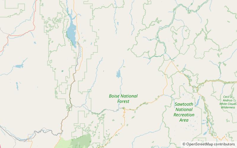
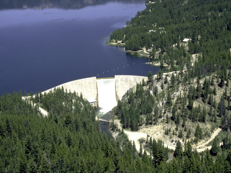
Deadwood Reservoir is a reservoir in the western United States, in Valley County, Idaho. Located in the mountains of the Boise National Forest about 25 miles southeast of Cascade, the 3,000-acre body on the Deadwood River is created by Deadwood Dam. The river flow south from the dam and is a tributary of the South Fork of the Payette River. The reservoir and vicinity is commonly used for camping, water skiing, fishing, canoeing, and other outdoor recreation. The full pool surface elevation is just above a mile-high at 5,334 ft above sea level. ()
Elevation: 5315 ft a.s.l.Coordinates: 44°18'35"N, 115°39'47"W
Address
Boise National Forest
ContactAdd
Social media
Add
