Midtown St. Louis, St. Louis
Map

Map

Facts and practical information
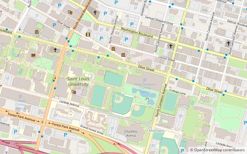
Midtown is a neighborhood in St. Louis, Missouri. It is located 3 miles west of the city riverfront at the intersection of Grand and Lindell Boulevards. It is home to the campus of Saint Louis University and the Grand Center Arts District. ()
Coordinates: 38°38'8"N, 90°13'43"W
Day trips
Midtown St. Louis – popular in the area (distance from the attraction)
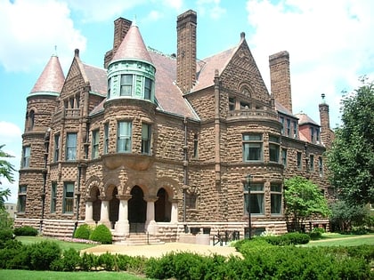
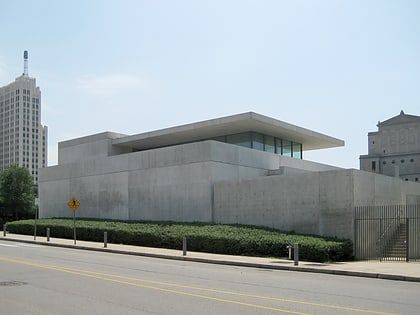
Nearby attractions include: Chaifetz Arena, Contemporary Art Museum St. Louis, Powell Hall, Samuel Cupples House.
Frequently Asked Questions (FAQ)
Which popular attractions are close to Midtown St. Louis?
Nearby attractions include Moto Europa, St. Louis (3 min walk), Cadillac Automobile Company Building, St. Louis (4 min walk), The Marcelle, St. Louis (7 min walk), Strauss Park in Grand Center Arts District, St. Louis (7 min walk).
How to get to Midtown St. Louis by public transport?
The nearest stations to Midtown St. Louis:
Light rail
Light rail
- Grand • Lines: Blue, Red (15 min walk)
- Union Station • Lines: Blue, Red (34 min walk)


