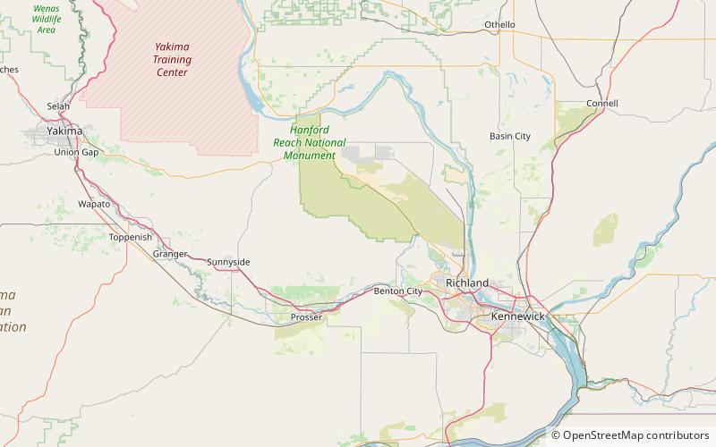
Rattlesnake Mountain, Hanford Reach National Monument
Map

Map

Facts and practical information
Rattlesnake Mountain is a 3,531 ft windswept treeless ridge overlooking the Hanford nuclear site. Parts of the western slope are privately owned ranchland, while the eastern slope is under the federal protection of the Arid Lands Ecology Reserve, a unit of the Hanford Reach National Monument, managed by the United States Fish and Wildlife Service. The mountain is the second highest point in Benton County, with its neighbor Lookout Summit surpassing it by only 98 ft. ()
Elevation: 3531 ftProminence: 840 ftCoordinates: 46°24'21"N, 119°36'40"W
