Breaking of the Chains, San Diego
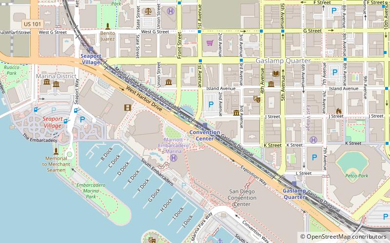
Map

Map

Facts and practical information
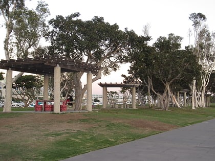
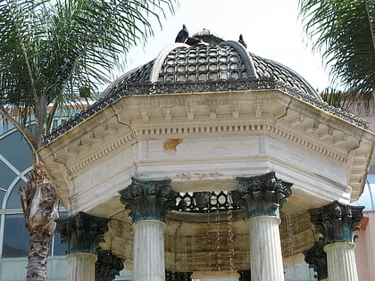
Breaking of the Chains is an outdoor public art sculpture by Mel Edwards, installed along San Diego's Martin Luther King Jr. Promenade, in the U.S. state of California. ()
Completed: 1995 (31 years ago)Coordinates: 32°42'33"N, 117°9'50"W
Day trips
Breaking of the Chains – popular in the area (distance from the attraction)
Nearby attractions include: Seaport Village, Westfield Horton Plaza, Dolphin Cove, The New Children's Museum.
Frequently Asked Questions (FAQ)
Which popular attractions are close to Breaking of the Chains?
Nearby attractions include Children's Park, San Diego (1 min walk), Harbor Club Condominiums, San Diego (2 min walk), Pinnacle Marina Tower, San Diego (3 min walk), The New Children's Museum, San Diego (4 min walk).
How to get to Breaking of the Chains by public transport?
The nearest stations to Breaking of the Chains:
Tram
Light rail
Bus
Train
Tram
- Convention Center • Lines: Silver (1 min walk)
- Gaslamp Quarter • Lines: Silver (7 min walk)
Light rail
- Convention Center • Lines: 530, Silver (2 min walk)
- Gaslamp Quarter • Lines: 530, Silver (8 min walk)
Bus
- 1st Avenue and Broadway • Lines: 901 (12 min walk)
- Broadway & Union St. • Lines: 992 (12 min walk)
Train
- San Diego (17 min walk)


