Kingman Commercial Historic District, Kingman
Map

Map

Facts and practical information
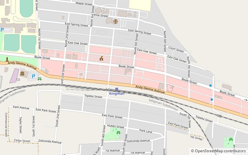
The Kingman Commercial Historic District is a 4.5-acre historic district along the 300 and 400 blocks of Andy Devine Ave. in Kingman, Arizona. It was listed on the National Register of Historic Places in 1986. It includes seven contributing properties; it includes Moderne, Queen Anne, and Mission/Spanish Revival designed by W. Royal Lescher and others. ()
Coordinates: 35°11'20"N, 114°3'7"W
Address
Kingman
ContactAdd
Social media
Add
Day trips
Kingman Commercial Historic District – popular in the area (distance from the attraction)
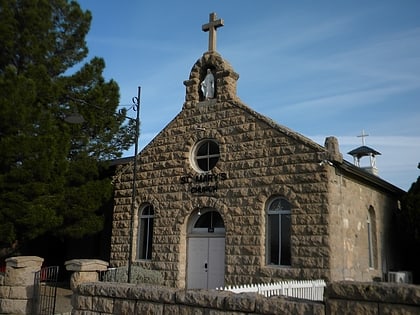
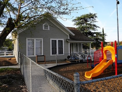
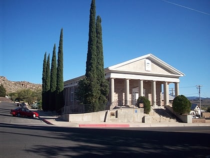
Nearby attractions include: Bonelli House, Saint Mary's Catholic Church, Hubbs House, Saint John's Methodist Episcopal Church.
Frequently Asked Questions (FAQ)
Which popular attractions are close to Kingman Commercial Historic District?
Nearby attractions include Bonelli House, Kingman (5 min walk), Saint John's Methodist Episcopal Church, Kingman (5 min walk), Saint Mary's Catholic Church, Kingman (6 min walk), Hubbs House, Kingman (6 min walk).
How to get to Kingman Commercial Historic District by public transport?
The nearest stations to Kingman Commercial Historic District:
Train
Bus
Train
- Kingman (2 min walk)
Bus
- Beale St. & 8th St • Lines: Green (9 min walk)
- 8th St. at Andy Devine Ave. • Lines: Green (10 min walk)


