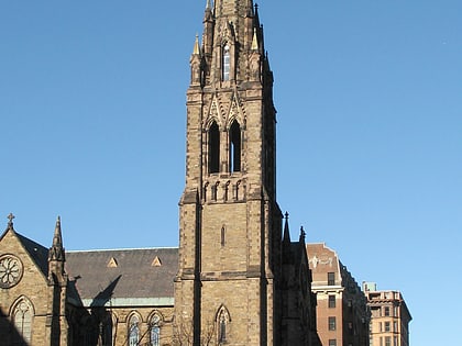
Berkeley Building, Boston
Map

Map

Facts and practical information
The Berkeley Building is a 26-story, 495-foot building located at 200 Berkeley Street, Boston, Massachusetts, USA. It is the second of the three John Hancock buildings built in Boston; it was succeeded by the John Hancock Tower. The building is known for the weather beacon at its summit, which displays distinctive light patterns as weather forecasts. The Berkeley Building is the 20th-tallest building in the city. ()
Completed: 1947 (79 years ago)Floors: 26Coordinates: 42°21'5"N, 71°4'19"W
Day trips
Berkeley Building – popular in the area (distance from the attraction)
Nearby attractions include: Club Café, Trinity Church, Copley Square, Boston Public Garden Foot Bridge.
Frequently Asked Questions (FAQ)
Which popular attractions are close to Berkeley Building?
Nearby attractions include Robert Klein Gallery, Boston (2 min walk), Emmanuel Church, Boston (3 min walk), Church of the Covenant, Boston (3 min walk), John Hancock Tower, Boston (4 min walk).
How to get to Berkeley Building by public transport?
The nearest stations to Berkeley Building:
Bus
Light rail
Metro
Train
Bus
- Boylston St @ Berkeley St • Lines: 9 (1 min walk)
- Saint James Ave @ Arlington St • Lines: 504, 55 (2 min walk)
Light rail
- Arlington • Lines: B, C, D, E (1 min walk)
- Copley • Lines: B, C, D, E (8 min walk)
Metro
- Back Bay • Lines: Orange (8 min walk)
- Tufts Medical Center • Lines: Orange (11 min walk)
Train
- Boston Back Bay (9 min walk)
- Boston South Station (22 min walk)

 MBTA Subway