Port Ivory, New York City
Map

Map

Facts and practical information
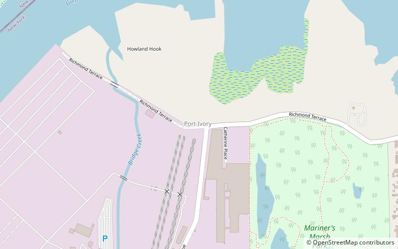
Port Ivory is a coastal area in the northwestern corner of Staten Island, New York City, New York, United States. It is located on Newark Bay near the entrances the Kill van Kull in the east and Arthur Kill in the west. It is bordered by Arlington to the east, Old Place to the south, Newark Bay to the north, and the Arthur Kill to the west. ()
Coordinates: 40°38'27"N, 74°10'48"W
Address
North ShoreNew York City
ContactAdd
Social media
Add
Day trips
Port Ivory – popular in the area (distance from the attraction)
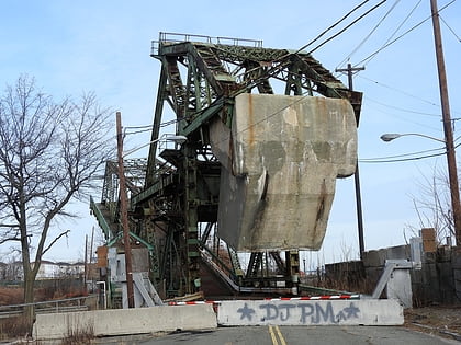
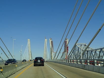
Nearby attractions include: South Front Street Bridge, Goethals Bridge, Arthur Kill Vertical Lift Bridge, North Shore.
Frequently Asked Questions (FAQ)
Which popular attractions are close to Port Ivory?
Nearby attractions include South Front Street Bridge, Elizabeth (16 min walk), Arthur Kill Vertical Lift Bridge, New York City (22 min walk), North Shore, New York City (23 min walk).
How to get to Port Ivory by public transport?
The nearest stations to Port Ivory:
Bus
Bus
- Grandview Avenue & Forest Avenue • Lines: S90 (31 min walk)
- Richmond Terrace & Union Avenue • Lines: S40 (31 min walk)

 Subway
 Manhattan Buses


