Kenmore CommUnity Council Inc., Akron


Facts and practical information
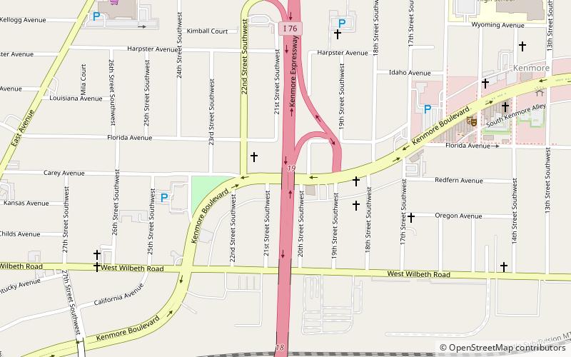
Kenmore CommUnity Council Inc. (address: PO Box 3954) is a place located in Akron (Ohio state) and belongs to the category of bridge.
It is situated at an altitude of 988 feet, and its geographical coordinates are 41°2'29"N latitude and 81°33'55"W longitude.
Planning a visit to this place, one can easily and conveniently get there by public transportation. Kenmore CommUnity Council Inc. is a short distance from the following public transport stations: Rolling Acres Transit Center (bus, 27 min walk).
Among other places and attractions worth visiting in the area are: Kenmore Branch Library (library, 11 min walk), St. Elia the Prophet Orthodox Church (church, 48 min walk), Harvey S. Firestone Memorial (monuments and statues, 53 min walk).
Kenmore CommUnity Council Inc. – popular in the area (distance from the attraction)
Nearby attractions include: Canal Park, InfoCision Stadium–Summa Field, Akron Zoo, Firestone Stadium.
Frequently Asked Questions (FAQ)
How to get to Kenmore CommUnity Council Inc. by public transport?
Bus
- Rolling Acres Transit Center (27 min walk)


