Chester Steele Park, Butte
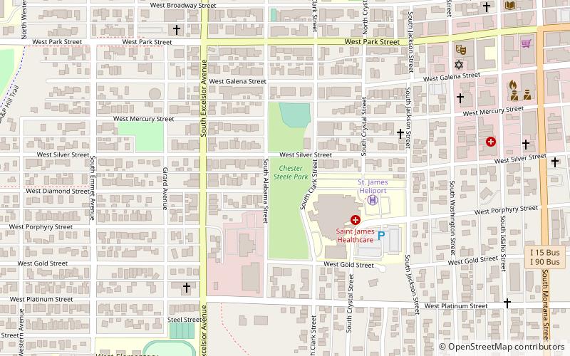
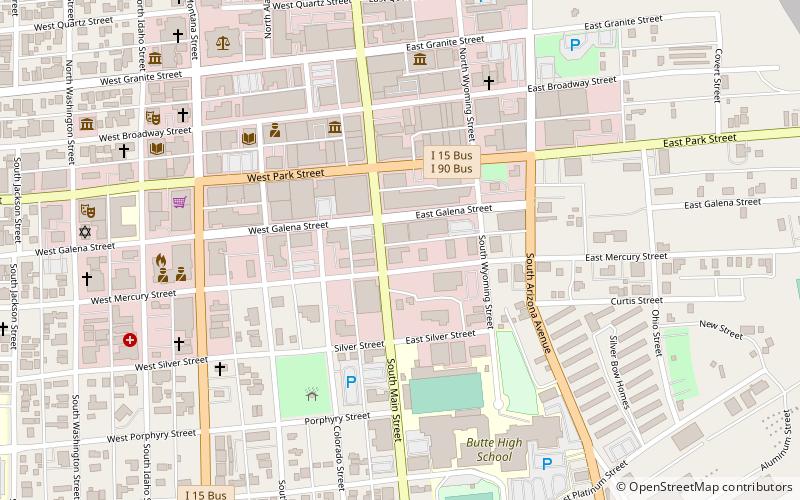
Map
Facts and practical information
Chester Steele Park is a place located in Butte (Montana state) and belongs to the category of relax in park, park.
It is situated at an altitude of 5653 feet, and its geographical coordinates are 46°0'34"N latitude and 112°32'49"W longitude.
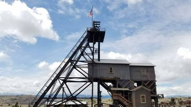
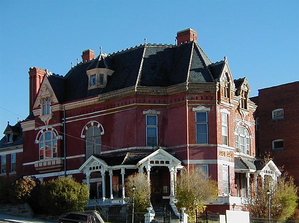
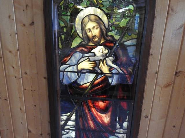
Among other places and attractions worth visiting in the area are: St. John's Episcopal Church (church, 10 min walk), Copper King Mansion (museum, 13 min walk), The Mineral Museum (museum, 13 min walk).
Elevation: 5653 ft a.s.l.Coordinates: 46°0'34"N, 112°32'49"W
Day trips


Frequently Asked Questions (FAQ)
Which popular attractions are close to Chester Steele Park?
Nearby attractions include St. John's Episcopal Church, Butte (10 min walk), Copper King Mansion, Butte (13 min walk), The Mineral Museum, Butte (13 min walk), Butte-Silver Bow Courthouse Centennial, Butte (14 min walk).