West Maka Ska, Minneapolis

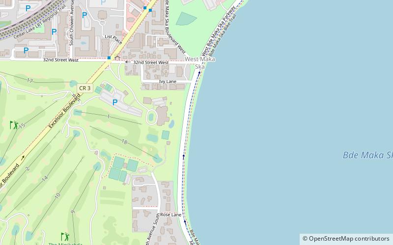
Map
Facts and practical information
West Maka Ska, formerly known as West Calhoun, is a neighborhood in the U.S. city of Minneapolis. The neighborhood was general rural with a couple grain silos along the railroad track heading into Downtown Minneapolis until about the 1910s. Although the railroad still runs through the neighborhood, the neighborhood is now mainly homes, apartment buildings, and strip malls. ()
Area: 0.67 mi²Coordinates: 44°56'35"N, 93°19'11"W
Address
Calhoun Isles (West Calhoun)Minneapolis
ContactAdd
Social media
Add
Day trips
West Maka Ska – popular in the area (distance from the attraction)
Nearby attractions include: Lyndale Park, Lake Calhoun, Seven Points, The Bakken Museum.
Frequently Asked Questions (FAQ)
Which popular attractions are close to West Maka Ska?
Nearby attractions include The Bakken Museum, Minneapolis (9 min walk), Lake Calhoun, Minneapolis (10 min walk), Calhoun Beach Club, Minneapolis (13 min walk), Chain of Lakes, Minneapolis (15 min walk).
How to get to West Maka Ska by public transport?
The nearest stations to West Maka Ska:
Bus
Bus
- Uptown Transit Center (30 min walk)


