The Art Institutes, Phoenix
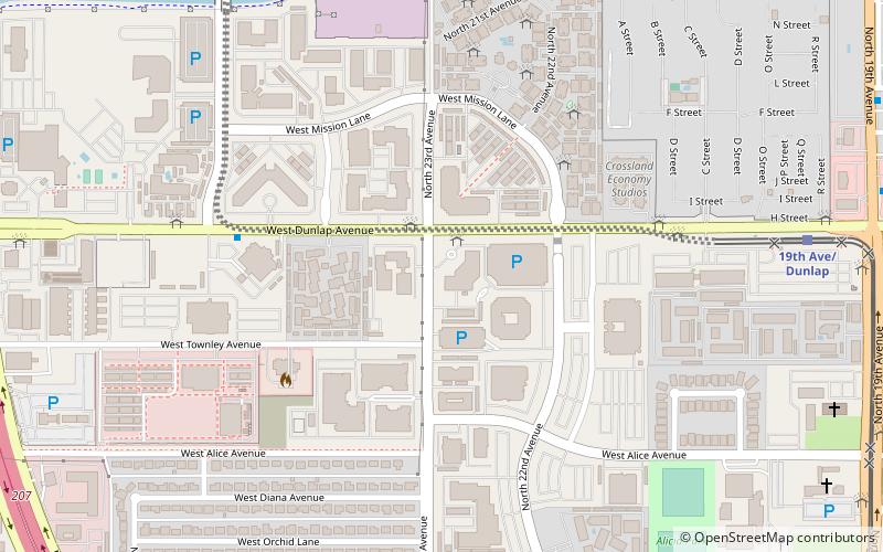
Map
Facts and practical information
The Art Institutes are a collection of private for-profit art schools owned by Education Principle Foundation, a non-profit that also owns South University. The Art Institutes offer programs at the certificate, associate's, bachelors, and master's levels. The Art Institutes have faced accreditation and legal issues and student loan debtors have appealed to the US Department of Education for debt cancellation through defense to repayment claims. These efforts are premised on allegations they were defrauded. The student debt group "I Am Ai" has acted as a support group for students and former students of the Art Institutes, offering advice about debt cancellation. ()
Coordinates: 33°34'0"N, 112°6'29"W
Getting there by public transportation
Public transportation stops near this location
- Bus
 Bus
Bus
- Calculate route18149 12 min walk
- Calculate route11104 13 min walk
- Calculate route18148 13 min walk
- Calculate routeMetro Transit Center 26 min walk
Day trips


Frequently Asked Questions (FAQ)
How to get to The Art Institutes by public transport?
The nearest stations to The Art Institutes:
Bus
Bus
- 18149 • Lines: 90 Wb (12 min walk)
- 11104 • Lines: 19 Sb (13 min walk)