Clarksville Commercial Historic District, Clarksville
Map

Map

Facts and practical information
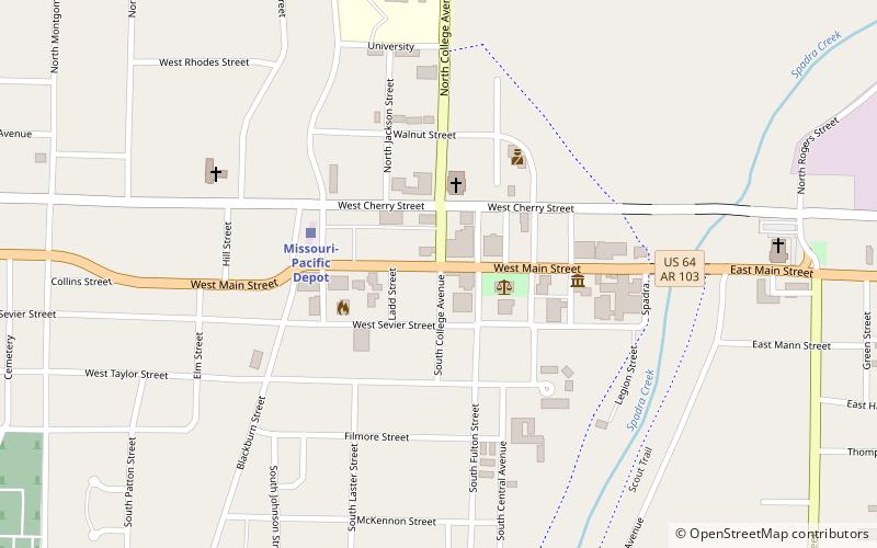
The Clarksville Commercial Historic District encompasses the historic commercial heart of downtown Clarksville, Arkansas. The district extends along Main Street, from Johnson Street to Union Street, and includes adjacent properties on adjacent cross streets. Although Clarksville was founded in 1836, its downtown area saw its most significant economic development between 1883 and 1958, and it is this era that is reflected in its architecture. ()
Built: 1935 (91 years ago)Coordinates: 35°28'16"N, 93°27'59"W
Address
Clarksville
ContactAdd
Social media
Add
Day trips
Clarksville Commercial Historic District – popular in the area (distance from the attraction)
Nearby attractions include: First Presbyterian Church, Clarksville Confederate Monument, University of the Ozarks.
Frequently Asked Questions (FAQ)
Which popular attractions are close to Clarksville Commercial Historic District?
Nearby attractions include First Presbyterian Church, Clarksville (3 min walk), University of the Ozarks, Clarksville (13 min walk), Clarksville Confederate Monument, Clarksville (17 min walk).
How to get to Clarksville Commercial Historic District by public transport?
The nearest stations to Clarksville Commercial Historic District:
Train
Train
- Missouri-Pacific Depot (4 min walk)


