Cairo Commercial Historic District, Cairo
Map

Map

Facts and practical information
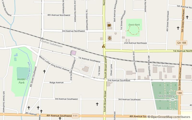
The Cairo Commercial Historic District is a 12-acre historic district that was listed on the National Register of Historic Places in 1994. ()
Built: 1866 (160 years ago)Area: 12 acres (0.0187 mi²)Coordinates: 30°52'37"N, 84°12'32"W
Address
Cairo
ContactAdd
Social media
Add
Day trips
Cairo Commercial Historic District – popular in the area (distance from the attraction)
Nearby attractions include: Roddenbery Memorial Library.

