Rosa Parks Transit Center, Detroit
Map

Map

Facts and practical information
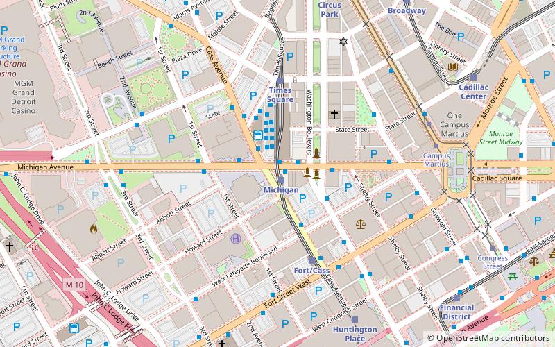
The Rosa Parks Transit Center is the main local bus station in Detroit, Michigan serving as the central hub for the Detroit Department of Transportation bus system. The station was built on the site of Times Square in the west end of Downtown Detroit. ()
Opened: 14 July 2009 (16 years ago)Coordinates: 42°19'53"N, 83°3'8"W
Address
Downtown DetroitDetroit
ContactAdd
Social media
Add
Day trips
Rosa Parks Transit Center – popular in the area (distance from the attraction)
Nearby attractions include: Joe Louis Arena, Cliff Bell's, Huntington Place, Fox Theatre.
Frequently Asked Questions (FAQ)
Which popular attractions are close to Rosa Parks Transit Center?
Nearby attractions include Gabriel Richard Building, Detroit (1 min walk), Patrick V. McNamara Federal Building, Detroit (2 min walk), Detroit City Apartments, Detroit (3 min walk), Book Tower, Detroit (4 min walk).
How to get to Rosa Parks Transit Center by public transport?
The nearest stations to Rosa Parks Transit Center:
Light rail
Bus
Tram
Light rail
- Michigan • Lines: Dpm (1 min walk)
- Times Square • Lines: Dpm (4 min walk)
Bus
- Michigan / Cass NS • Lines: 02, 03, 05, 06, 09, 16, 255, 31, 530, 620, 67, 830, 851 (1 min walk)
- Michigan / Cass • Lines: 02, 03, 06, 255, 261, 530, 620, 830, 851 (1 min walk)
Tram
- Campus Martius • Lines: QLine (7 min walk)
- Grand Circus Park • Lines: QLine (9 min walk)


