Woodmar, Hammond
Map
Map

Facts and practical information
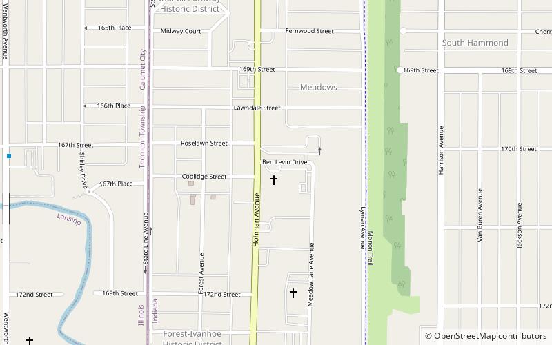
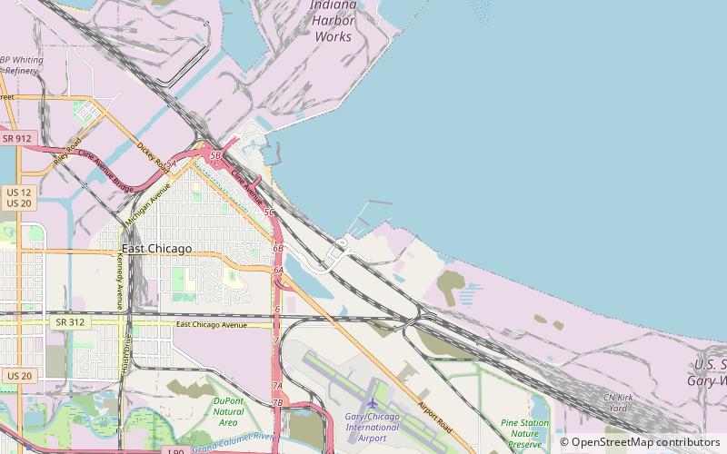
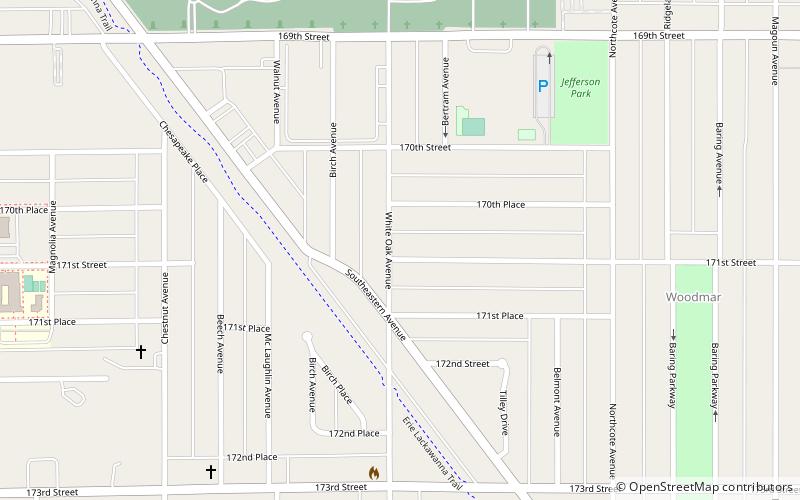
Woodmar is a neighborhood in southeast Hammond, Indiana, approximately between Columbia and Kennedy Avenues. It is bounded to the east by Hessville, to the west by South Hammond, to the north by industrial land along United States Route 20, and to the south by the town of Highland. The neighborhood's boundaries correspond to Hammond's Planning District V. ()
Coordinates: 41°35'6"N, 87°29'25"W
Address
Hammond
ContactAdd
Social media
Add
Day trips
Woodmar – popular in the area (distance from the attraction)
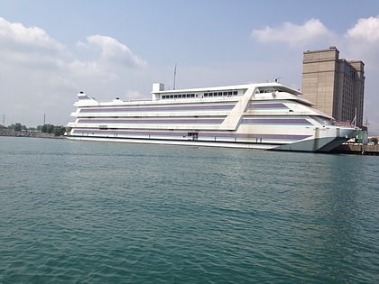
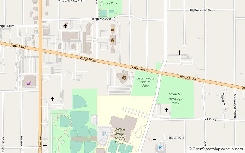
Nearby attractions include: Ameristar Casino East Chicago, Saint Demetrios Hellenic Church Hammond Indiana, Theatre at the Center, The Center for the Visual and Performing Arts.
Frequently Asked Questions (FAQ)
How to get to Woodmar by public transport?
The nearest stations to Woodmar:
Bus
Bus
- Indy Blvd & 169th Street • Lines: R4 (15 min walk)
- Food 4 Less • Lines: R4 (18 min walk)

