Wizard Falls, Deschutes National Forest
Map

Map

Facts and practical information
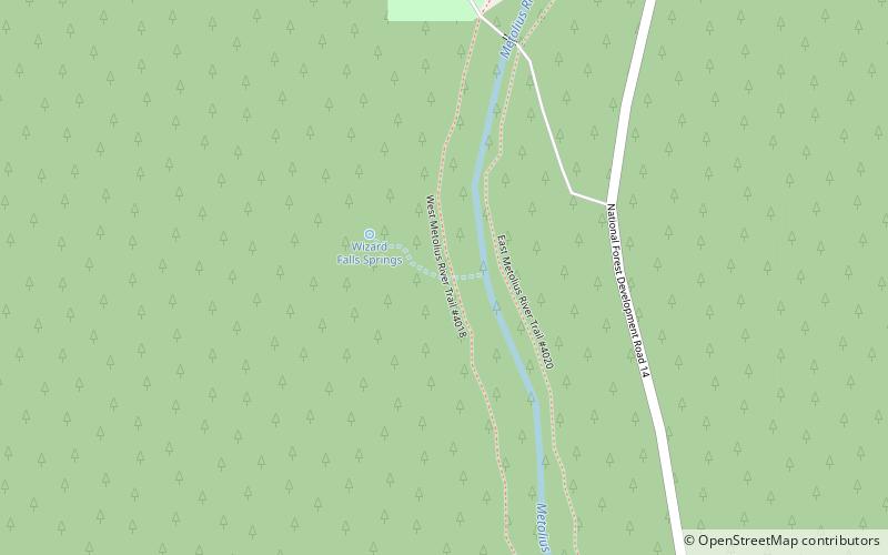
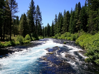
Wizard Falls, was a waterfall located in Jefferson County, in the U.S. state of Oregon. It was located in a privileged area on the northwest foothills of Deschutes National Forest, just north of Black Butte and the city of Sisters, Oregon. To the west sits volcano Three Fingered Jack, between Mount Washington to the South and Mount Jefferson to the North. ()
Height: 12 ftCoordinates: 44°31'7"N, 121°37'59"W
Address
Deschutes National Forest
ContactAdd
Social media
Add
