Columbus Circle, New York City
Map
Gallery
Facts and practical information
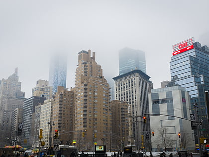
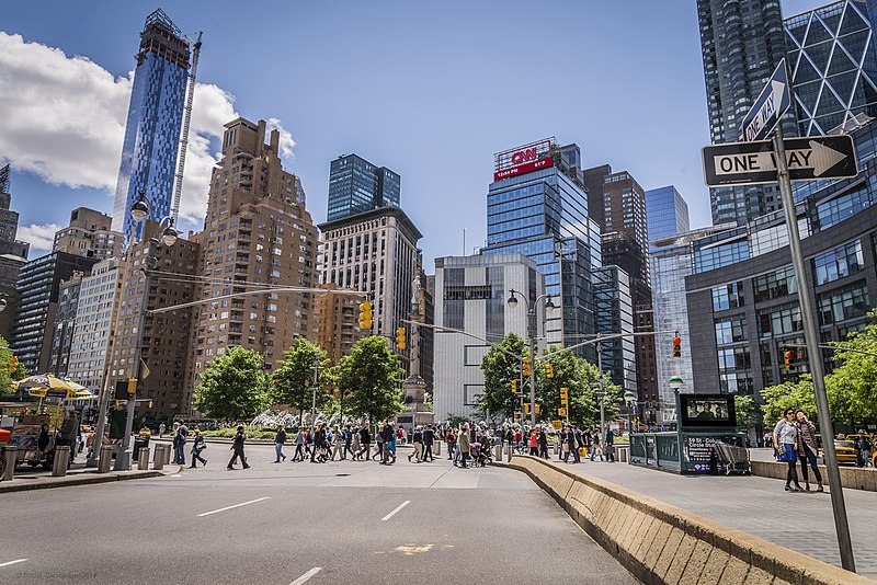
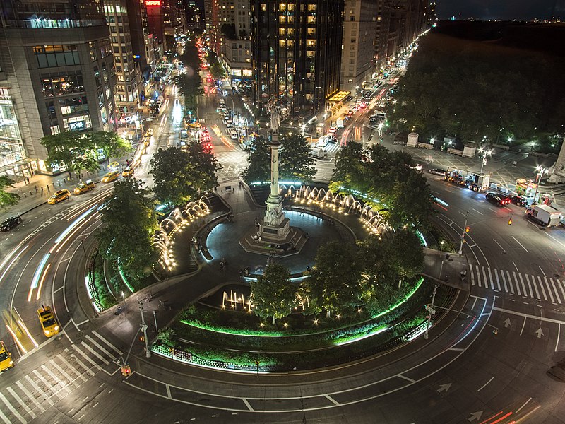
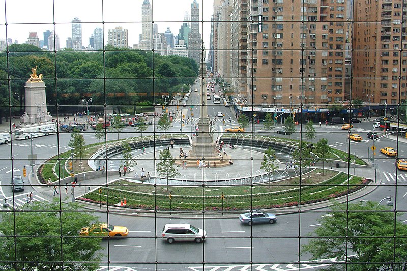
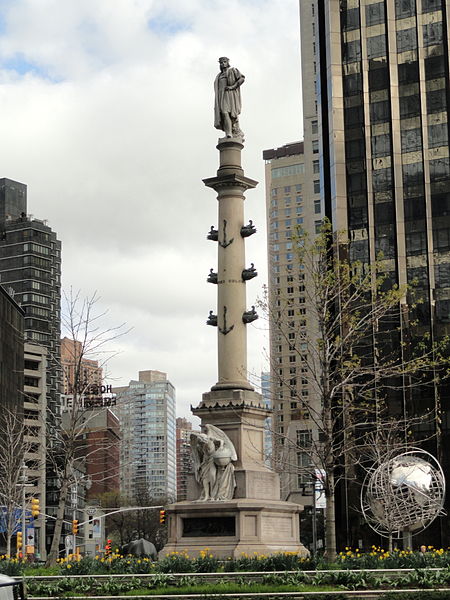
Columbus Circle is a traffic circle and heavily trafficked intersection in the New York City borough of Manhattan, located at the intersection of Eighth Avenue, Broadway, Central Park South, and Central Park West, at the southwest corner of Central Park. The circle is the point from which official highway distances from New York City are measured, as well as the center of the 25 miles restricted-travel area for C-2 visa holders. ()
Address
Broadway & 59th StreetMidtown Manhattan (Theater District)New York City 10019
Contact
Social media
Add
Day trips
Columbus Circle – popular in the area (distance from the attraction)
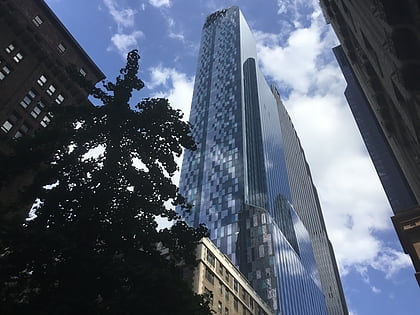
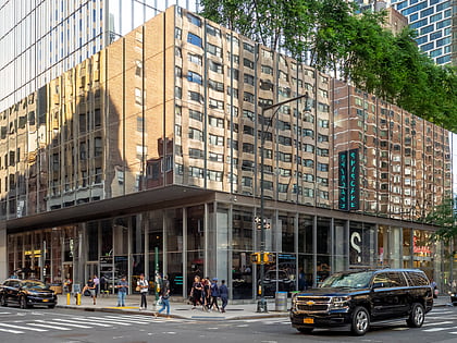
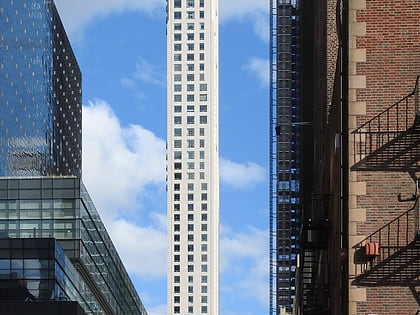
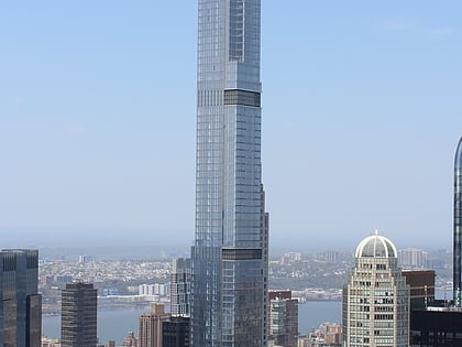
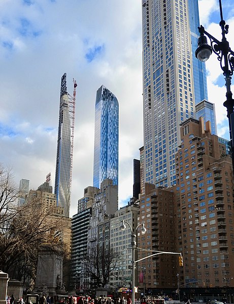
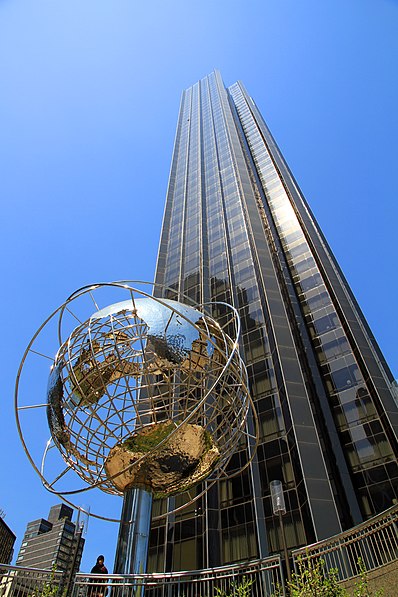
Nearby attractions include: Deutsche Bank Center, The Shops at Columbus Circle, Museum of Arts and Design, One57.
Frequently Asked Questions (FAQ)
Which popular attractions are close to Columbus Circle?
Nearby attractions include Museum of Arts and Design, New York City (1 min walk), Museum of Arts and Design, New York City (2 min walk), USS Maine National Monument, New York City (2 min walk), Deutsche Bank Center, New York City (2 min walk).
How to get to Columbus Circle by public transport?
The nearest stations to Columbus Circle:
Metro
Bus
Train
Ferry
Metro
- 59th Street–Columbus Circle • Lines: 1, A, B, C, D (1 min walk)
- 57th Street–7th Avenue • Lines: N, Q, R, W (6 min walk)
Bus
- Broadway & West 61st Street • Lines: M10, M104, M7 (3 min walk)
- 7th Avenue & West 58th Street • Lines: M104, M20, M7 (5 min walk)
Train
- Grand Central Terminal (28 min walk)
- Pennsylvania Station (35 min walk)
Ferry
- Midtown/West 39th Street (33 min walk)



 Subway
 Manhattan Buses

